2020-09-27
We are started very late due to circumstances beyond our control. It is a beautiful day, maybe a tad hot, but being naked in an air-conditioned car eradicates such concerns.
We have driven the two hours down the Interstate highway to Wilcox, a small central hub of a town alone in a vast expanse between Tucson and New Mexico. It has thrived amongst some irrigated farmland in the valley between mountain ranges, the cattle ranchers and as a stop on the highway. Here, on the two lane highway to the south, it is open grass and rangeland, all dry from the extended drought.
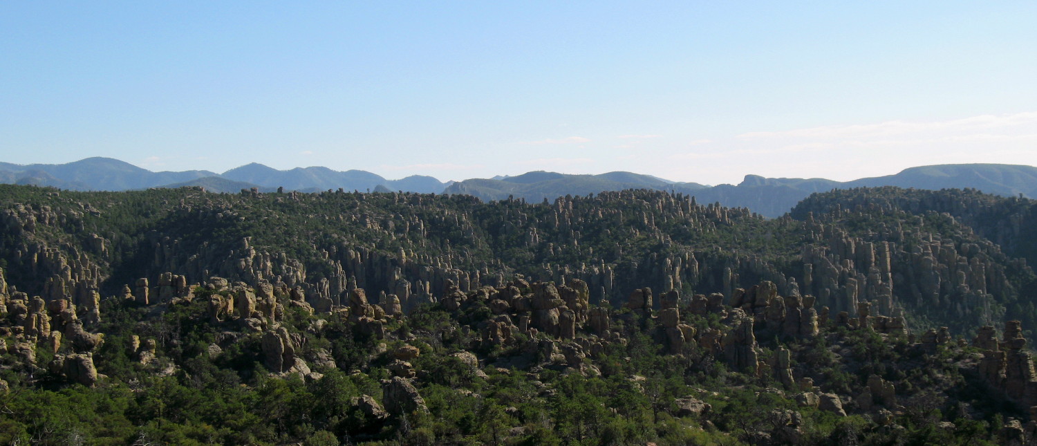
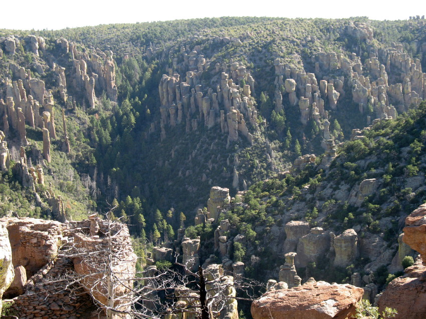
We are heading for the Chiricahua National Monument, which is a collection of hoodoos much like Bryce in Utah. Not as colorful, not as prolific, but there are not over two million visitors each year. I have found what is described as the least populated trail and it all sounds fascinating as it leads to a natural bridge.
Trails Throughout
The two-lane highway on the prairie has very little population. Out on a ridge we see an occasional hacienda, here and there. Then, we pass through Dos Cabezas, Two heads. We find a collection of frontier style homes from many decades ago. They appear to be nearly all occupied. Some have redone stucco coverings. All of the homes that are along the road are from an even quieter era and would be too close to traffic any place else. Here, people sit out on porches watching the world go by on a Sunday afternoon.
There is no post office, no mercantile, just a few homes gathered out on the prairie.
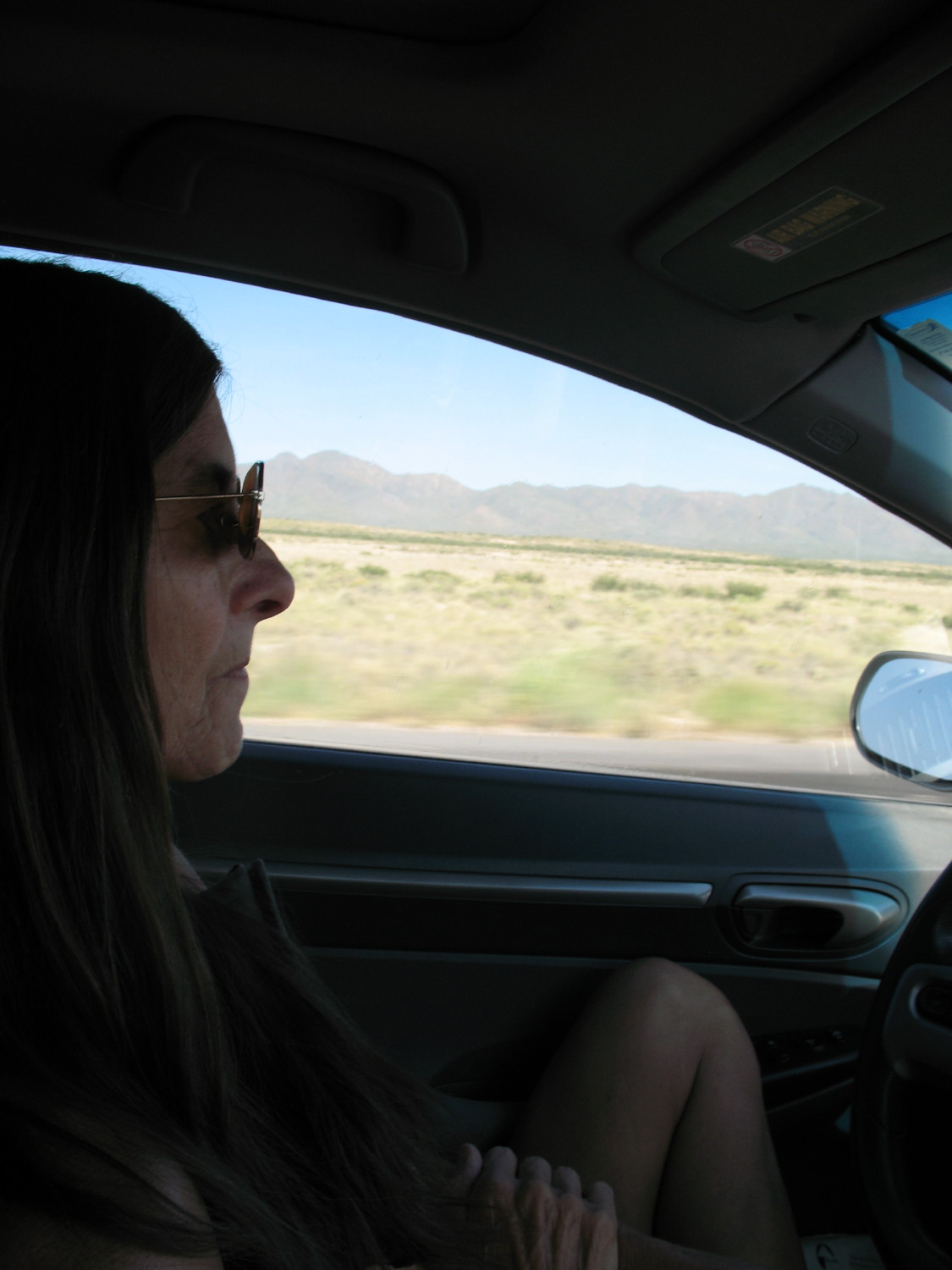
DF has been the driver and announces that she requires a pit stop. We decided not to hassle with dressing and public places back in Wilcox. She chooses a place to pull off quickly. It may be the least advantageous spot along the highway. There is a blind hill in front of us, a bush hides the view the other direction, making for a potential for surprises. Maybe we’ll hear any coming vehicle. The car is even parked on an angle so that the doors are of little use to hide behind.
I’m reluctant to participate, but all considered, we have seen but three cars in the last 35 miles. Odds are certainly with us. Then again, I’m a believer in Murphy’s Law.
We climb out naked, a little stiff from sitting the last couple of hours. We tend to business, successfully undiscovered. It is exposed; it feels risky, but the demands of plumbing overrides. It is elegant compared with getting dressed for the echo and scent of a dinghy public box. Peering out at the grassland under big sky, the scents on the fresh air, the empty comfort of silence, all of this has its edge.
Back in the car, at the crest of that blind hill, a car passes on its way north and we discover the turnoff.
We pull over and put some coverings on before the Monument gate, which is manned by a brown and khaki uniformed stranger. When we pull up, I inquire about available “peace and solitude.” The smiling uniformed lady tells us, “on a Sunday afternoon late, it ‘might’ be found.”
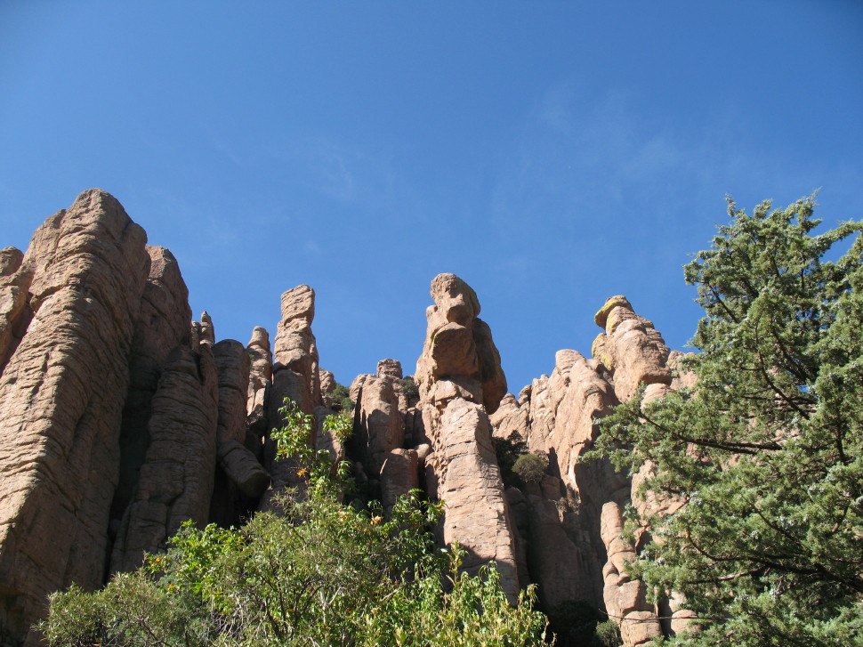
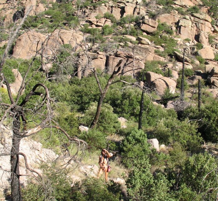
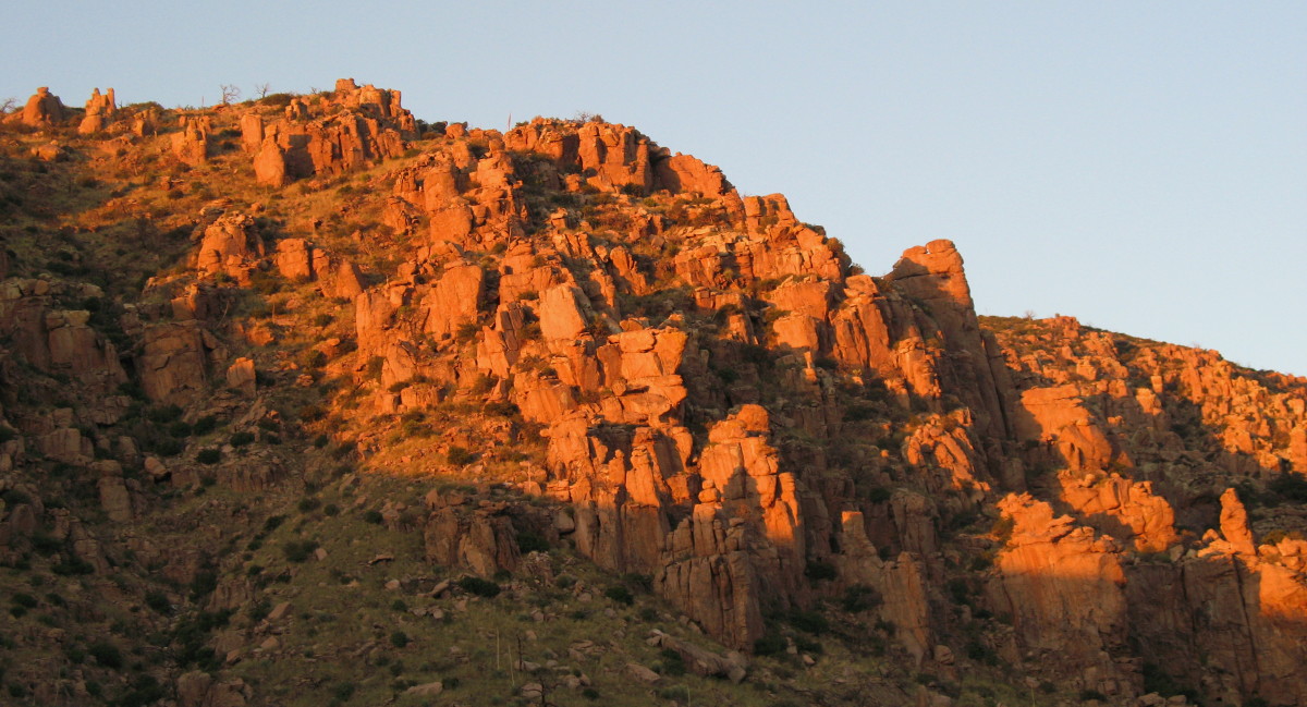
Towers at the Edge of the Road
We drive the 1.25 miles from the Covid closed visitor center, but find three cars in the trailhead parking lot for the least traveled, or so it is written, trail.
DF had explored this Monument a decade before. We decide to go ahead and show Jbee the rest of the short drive to the Massie Point.
In the parking lot at the end of the road, there are four cars and then four more. Not crawling with people, but plenty of potential for surprises for naked ones.
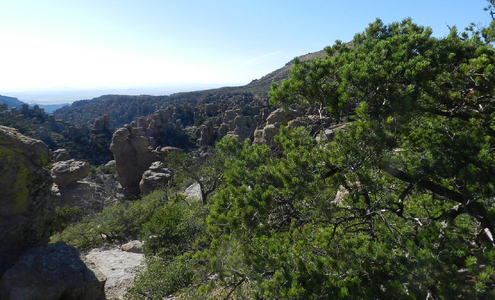
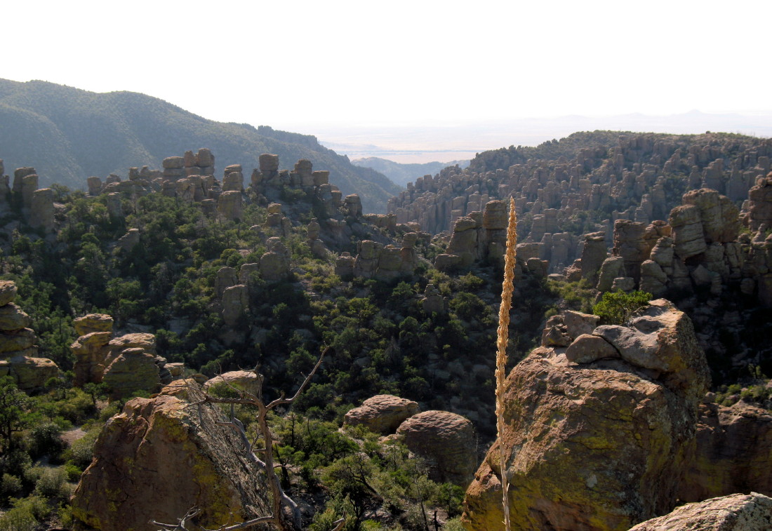
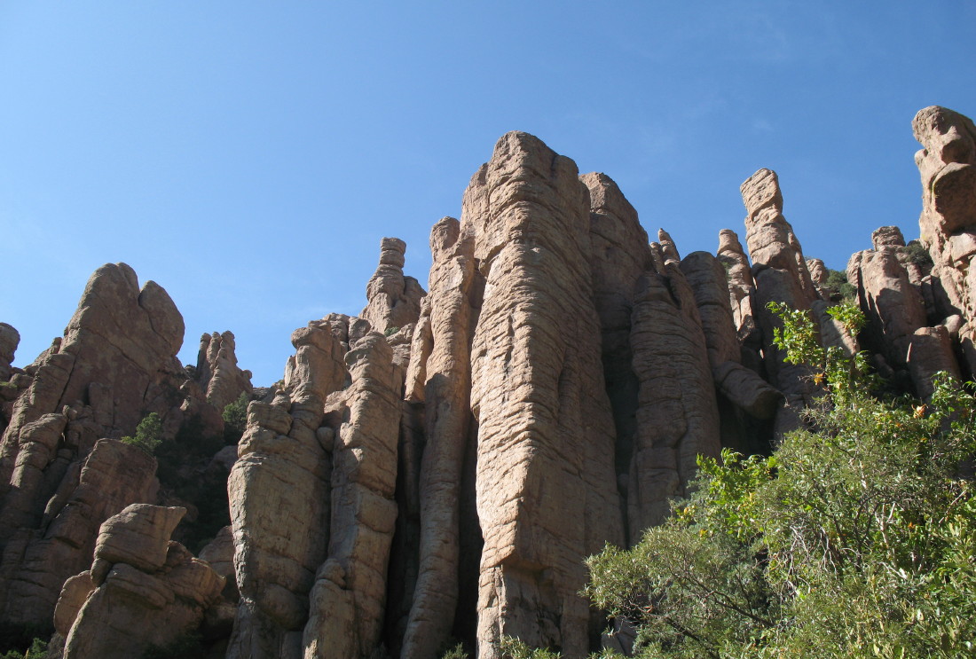
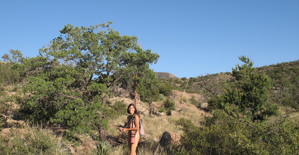
The view at this point is impressive and fun. It IS like looking down into parts of Bryce without the sharp orange colors.
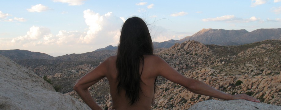
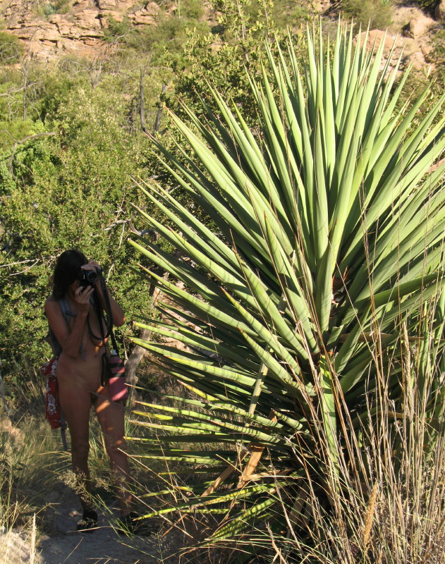
I pull my camera from its pouch and take shots.
The sun casts shadows on hoodoos in the valley at my feet.
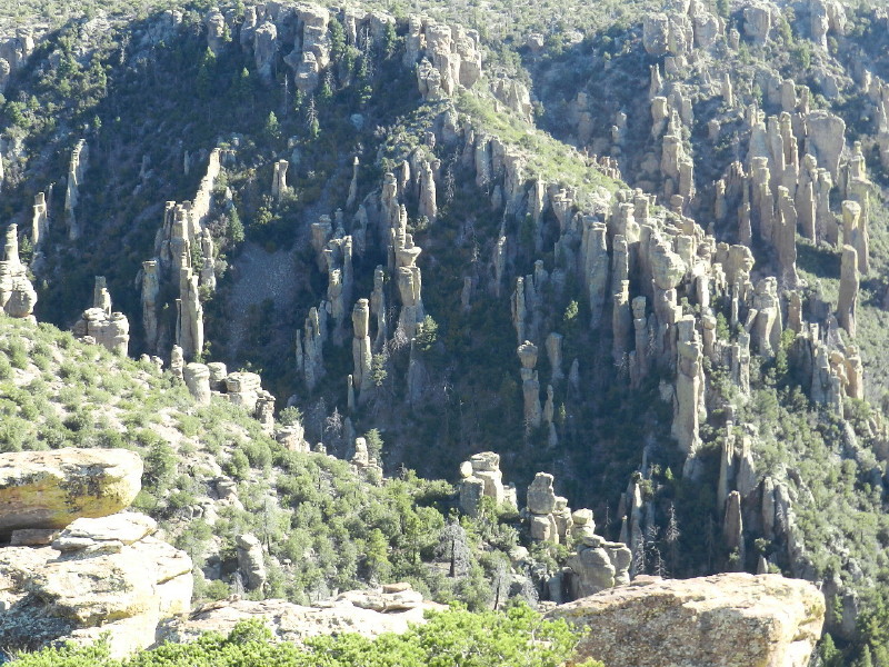
Each tower has its own personality among the mass. Tall trees grow in-between accenting the color and showing us just how large these distant hoodoos climb.
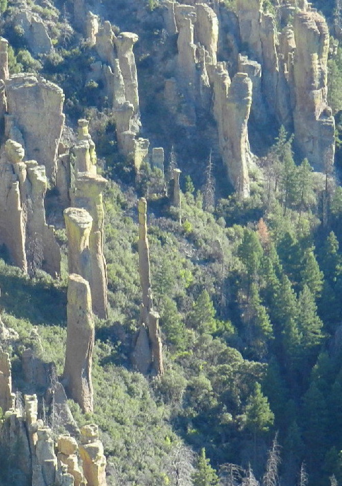
Perhaps the Thinnest Tall Hoodoo I Ever (Note the Trees)
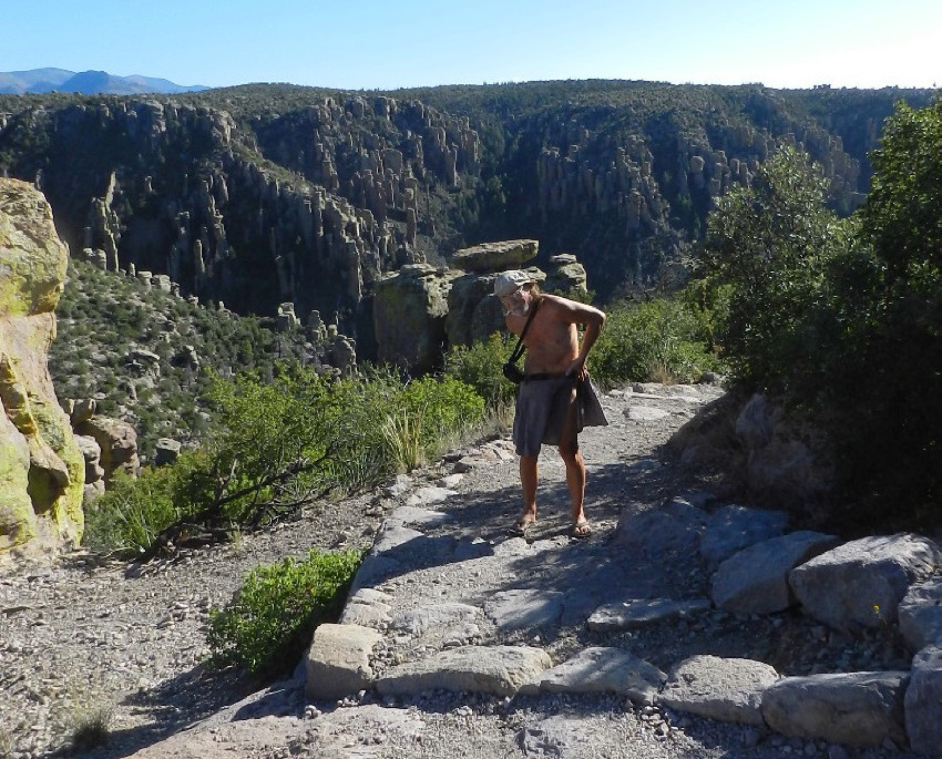
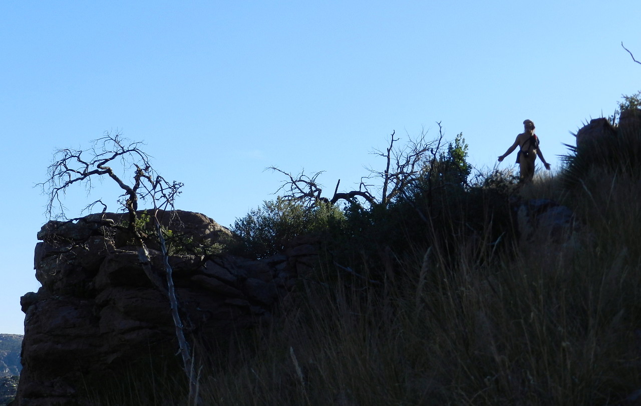
DF walks off toward the other side of our hill for its yet unseen view. I soon follow in my wrap around kilt with the aging Velcro. We again meet. I pose behind a bush, hidden from the others and vista behind me. I’m surprised when my kilt casually falls off, to the ground. Now, standing nude in a very public tourist grounds; I’m stunned. I put my camera away, out of hand. I am fumbling as I laugh, imagining the comedy of the sight. I hear voices as I reach down and gather myself before the strangers arrive. DF grins.
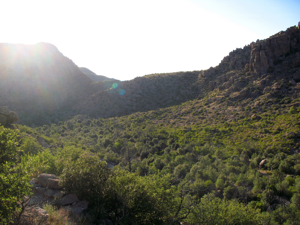
We get back in the car and drive over to Echo trailhead. We find only five cars in a lot meant for many more. All are dusty. The owners have been gone hiking at a distance. I’d like to try this one and we almost do, but we’ll return to Bonita Creek. The Natural Bridge calls to us. Now, later in the day, I know the length of the track there. Another day, in mid-week with the right amount of heat will be a good time to explore the echoes.
Out on the Trail:
At the trailhead, a lone car is parked parallel with four young passengers wandering about. We put on our toe shoes and gather ourselves, as the other party leaves.
It is already shady in the creek and I mistake the time for five. On that information, we decide to explore 30 minutes out and 30 back before the equinox darkness. We take off at a clip, snapping pictures of the impressive scenery.
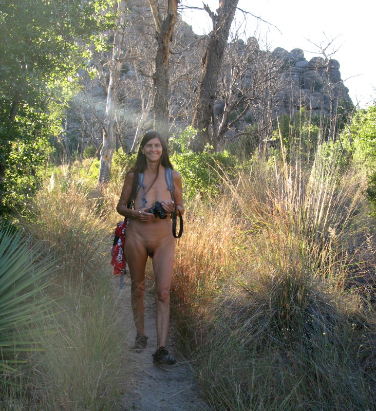
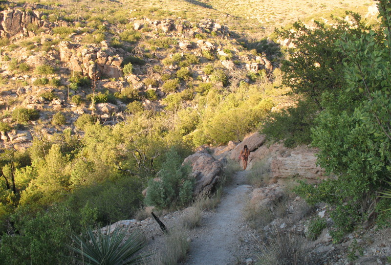
I just take a sarong, nobody will be out there. Within a hundred feet, the roadway disappears.The covering goes to cushion my shoulder, not that there is much traffic. It is just us. It is our trail. DF soon follows suit dismissing her sundress.
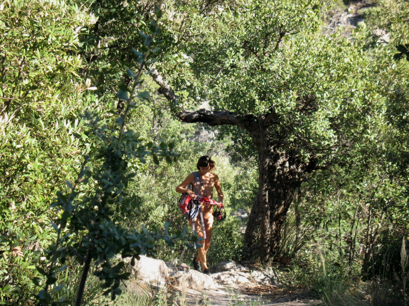
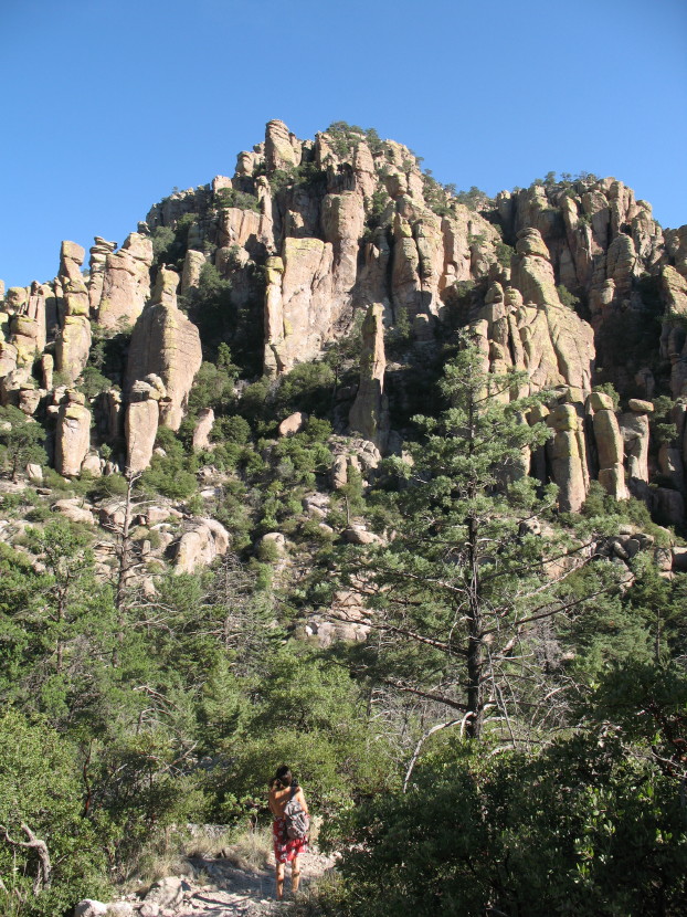
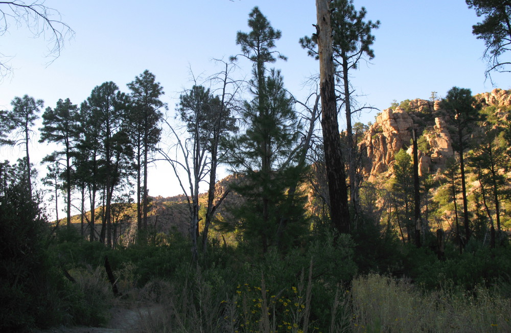
The trail starts with a climb up a stairway of sculpted granite. It may as well have been made by dwarves and used as a conveyance for hobbits. We are among the trees, which are covered with the small golden brown leaves of Arizona scrub oak.
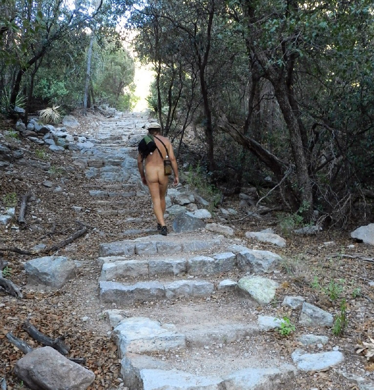
The trail is very nice. There is a grade, but nothing strenuous. It is filled with well exacted rock steps. There are many good places to walk freely without the usual problems of rocks, some loose, that may discomfort, or we may trip over.
We snap photos and enjoy, until it feels like about a half of an hour. I unzip DF’s daypack and find my phone. It says 4:30. I read the military time wrong. We have another half hour to explore. I also have mistaken the length of the trail. It is only 2.4 miles and I confused the length with the 4.8 there and back on the map! It has not been a sharp day for me, but I’m a tiny bit shamed and a lot pleased. Maybe we can do this. We decide to try to get to the bridge.
We usually make poor time, stopping for photos and immersing with a place. But this trek has become goal oriented. It is an easy trail and there are plenty of opportunities to look up from each step and gaze about in wonderment.
Hoodoos are so much fun. The light is changing. We are dealing with pre-sunset glare, but shadows are beginning to grow.
The description sounded fun, “A bend, a park like stand of pine trees” and finally “a view of a natural bridge rock formation from a nice friendly flat rock.”
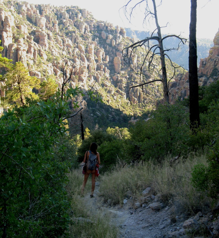
We find our way through a higher ridge, which is like the top of a butte. I’m beginning to suspect that the park-like trees have burnt up. There are dead hulks of various pines all along the way. We find only two healthy young trees.
I start to grimace in my mind about climate change, all of the favored places that have gone up in smoke. I reflect on how the arctic has warmed up redirecting the stratospheric jet streams and creating unpredictable wobbling weather patterns. My disgust and disappointment is surfacing as I see images of extreme droughts and fires that are consuming forests all over the planet…then, below me, I see the bottom of the canyon and verdant trees. The trail drops into that. Ahh!
More of the easy grade with a couple of switch backs brings us into the shady area.
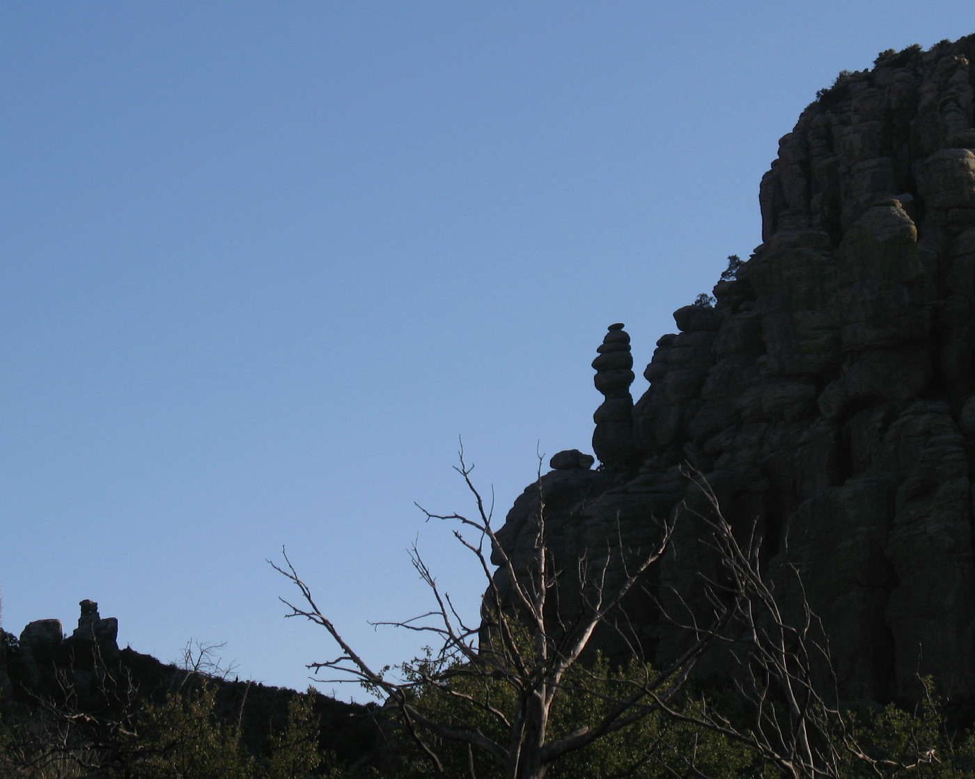
Bert Hoodoo Looking for Ernie
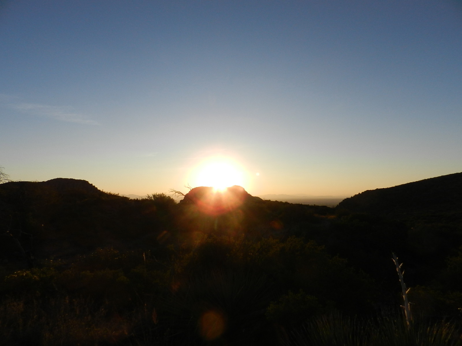
The mountains to the west are becoming dark and casting shadows as the sun sinks behind them. The glare from it continues to hassle our photography and our eyesight. I turn my hat back around to shelter under the brim. Soon enough, this trail begins to head southwest and then turns around back to the southeast. It feels as if a circle from our beginnings, as the sun warms our backs.
Flowers of all kinds begin to appear.
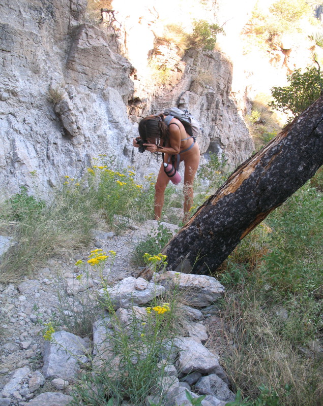
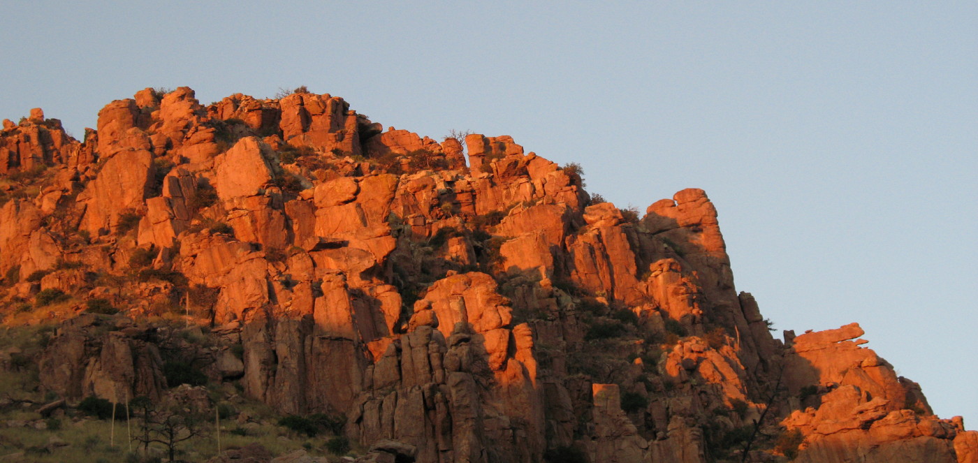
Not multitudes of flowers, but a variety of them, as the trail meanders on. The rich orange and red light from the late afternoon sun decorates the rock faces and hoodoos to our left. Silhouettes of the entertaining formations continue to dazzle and tempt our cameras.
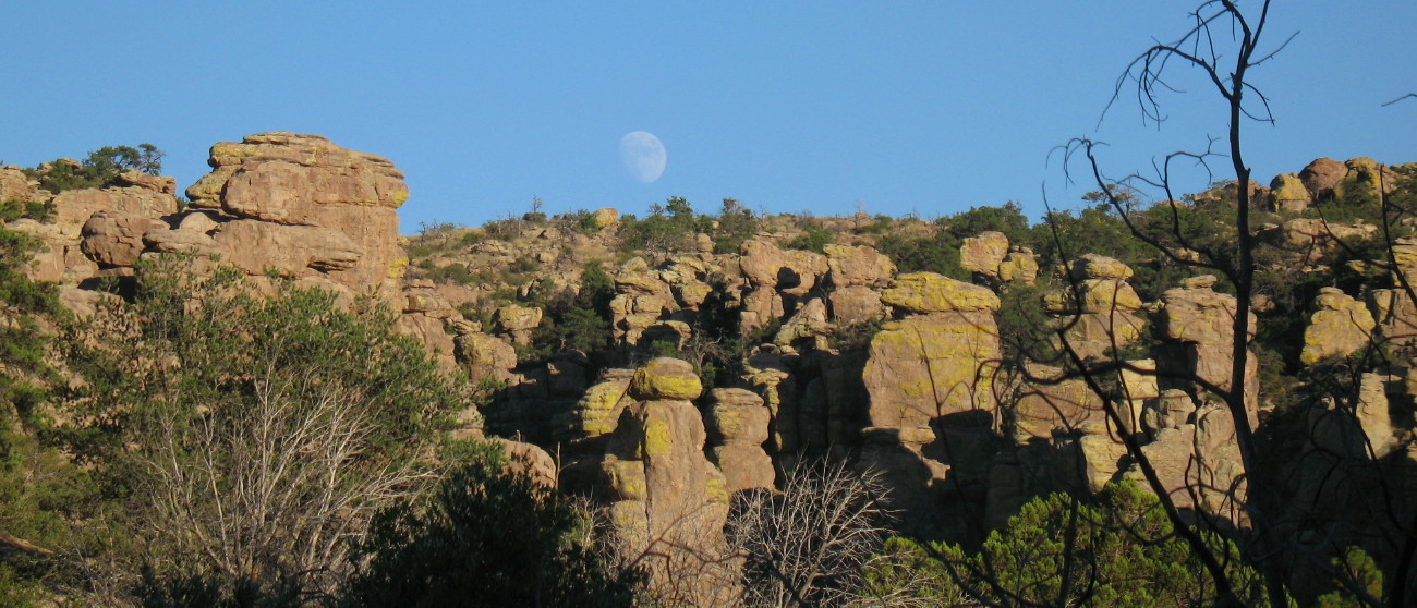
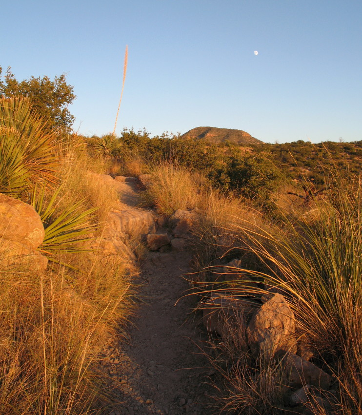
Moon Over Hoodoos
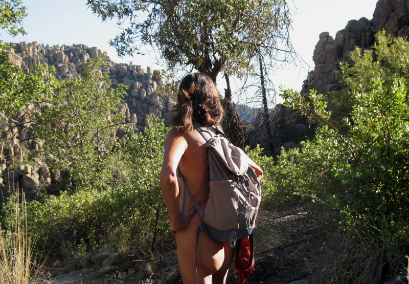
The park like pine forest does finally appear. Yellow daisies carpet the area. They are standing chest high in places. This place is feeling magical.
Pompous grasses are also growing above our heads and into the trail, caressing our nude bodies and adding to the fun look of this place. We peer through dark trees at illuminated rock faces filled with more hoodoos.
We have been making good time, the compulsion, or seduction of this place is pulling on us to continue. It just gets better. We decide to check the watch and face the music. It is 5:10 and we have taken more than an hour to get here. The bridge must be just around the corner.
We walk just a little more and then a few feet after that, looking further up the trail looking for signs of it ending, to complete this goal. It isn’t going to pan out. If we get to the bridge, we will be walking back into the rocky steps in the dark. We have left two flashlights in the car. This is the time of day that rattlesnakes will begin to roam and there is tall grass everywhere. We have to return.

If we hadn’t gone up to the end of the road, the time would have been better, but then we wouldn’t have seen the hoodoo canyon stretch before us, or seen a future hike. If only we had left sooner, but we had no control of that. So, maybe another time. I certainly would re-travel this path again. It is enchanting. I’ll be back during the week, in the afternoon in the right weather and heat.
Heat isn’t a concern at this point. We are in the stone solid quiet of the forest. There is only the occasional light breeze. It feels and sounds good, but we do know, as we reach the plain on top, the wind may pick up. It was warm up there; a chill may find us, now.
When we get to the winds, they bless us with more nearly perfect temperatures. DF smiles and comments how pleasant this air has been and how earlier it would have been hot.
We wouldn’t have moved as quickly.
The eastern faces continue to get deeper red until they are pink then dark massive ruby.
We head back into the canyon where the car is parked down at the end of the stair steps.
It is easier going up than back down. It can be slippery on the ground granite sand. I practice walking with my feet sideways, taking in their strategy. They grip better, the toes line up to hold on better. It does work very well. I must remember to use this strategy more often.
The bats are coming out. They are tiny folk in this part of Arizona. The extreme drought (two rains since last February, I think) has left us with fewer pesky bugs. These friends will help rid us of the rest.
The perfect air is not monotonous. As we pass through the spots where water will flow when it rains, the small gullies give is a cooling. The cool air flows like water in a creek bed downhill, cutting through thicker vegetation. None of this sensation and delight can be had with clothing on. We savor our body’s freedom and sensuality.
As we arrive at the trailhead, we hear the first civilized noises in a couple of hours. We wait for a moment or two behind a rock and watch two cars escape from the park to make ready for Monday morning. They pass and we make our way to the car, casually and nude this time.

I drive this time. We head back home, looking for the last glimpse of sunset dusk, stopping in a parking lot to eat our sandwiches. It is quiet here and it is nude solitude.
We wander through the sidewalk of a public picnic area unencumbered, nor startled…free.
It is a couple of hours back to Tucson.
Be sure to click any image to enlarge it as you desire.
© The owners of TheFreeRangeNaturist.org as of the year 2015 declare. Unauthorized use and/or duplication of this material without express and written permission from this site’s author and/or owner is strictly prohibited. Excerpts and links may be used, provided that full and clear credit is given to TheFreeRangeNaturist.org with appropriate and specific direction to the original content.

Pingback: Chiricahua National Park | EcoNudes
Pingback: Chiricahua National Park – The Shaven Circumcised Nudist Life