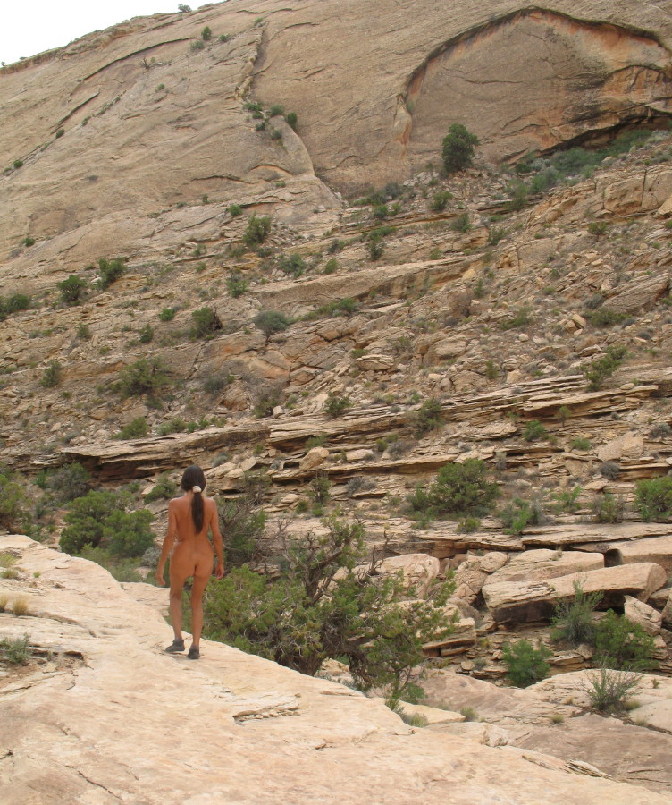
We’re off to explore north of Arch Canyon, along the rock slope west of Comb Ridge, Utah. I’ve been aligning a series of canyons, what I can see, with lines on a crude map. On the map, there is marked a cave, pictographs and ruins in a few of the several canyons. Which canyons are which, at this point I’m reasonably sure about, but heading north through the canyon on winding roads, trails may get confusing.
Then, there is a blank piece of the knowledge. I have no information about any trails, or routes to get to each canyon. There may be none. We’ll have to keep an eye out for any clues along the way. We may even find ourselves bushwhacking.
It is Memorial Day Monday, the end of the long festive getaway weekend. People are packing up, for their return to working lives. They are savoring the last walks, final drives, the moments before leaving their good time playgrounds. It is quieter, a calm is returning, passersby are much less frequent.
Memorial Day, I begin to think about my dad, the soldier, sadly, but proud and respectful.
By dinner’s end, we are feeling less impinged. The softer light permeates. Heat is turning progressively down to perfect warmth. Everything seems to mark the close of the holiday.
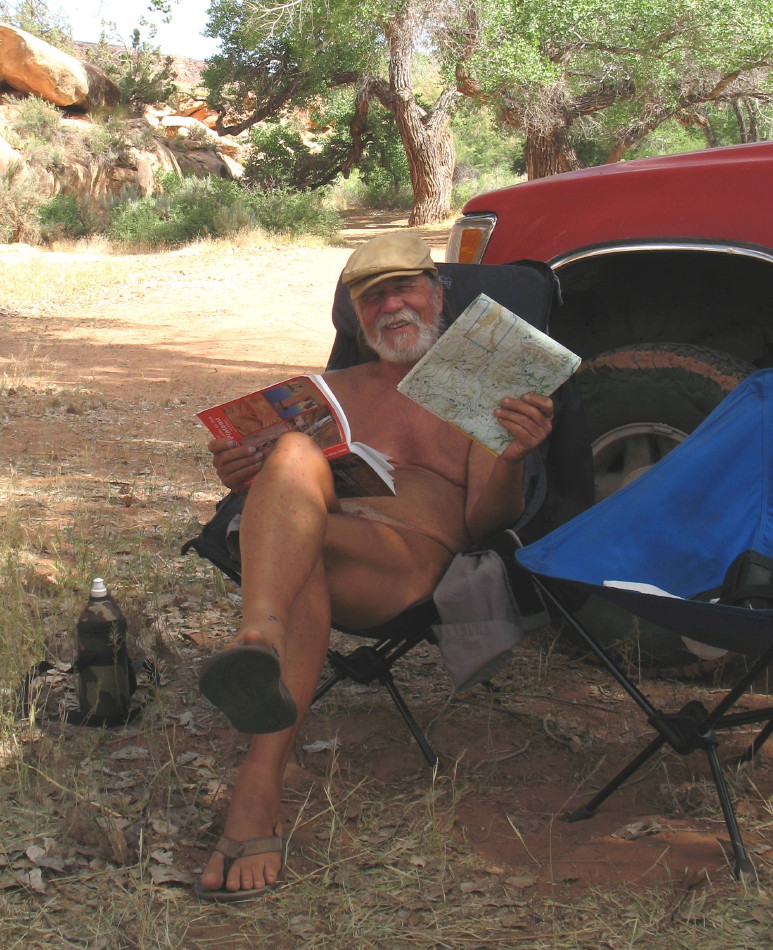
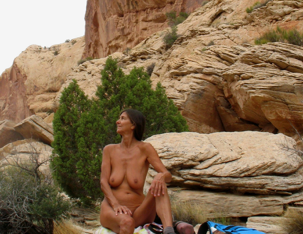
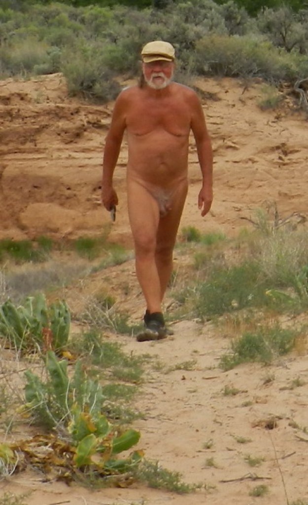
There is a sense of expanding freedom. We can relax easier in our nudity and stretch out of our hiding boundaries, safe to walk and wander.
There is in my guidebook, a reference to some ruins. They are somewhere on down the road that leads from our camping area, here where the creek empties out into the valley at the base of Arch Canyon. There is an old trail, a dotted line, probably another 4×4 route, leading up the stone surface. It is probably a good long hike on a less busy day, an ancient route, now marked by rubber skids and rubble.
There is “the old Perkin’s Ranch” a landmark. There is the symbol mark for ruins. As best as I can cipher, it is at the top of what is referred to as a nipple. I suspect it may be at the peak of an attention grabbing hill that I have spent time looking at, even curiously searching its nature with binoculars for details. It looks like a short walk. I’d like to see if I got it right.
We have climbed a gradual slope, somewhere around 1200 feet near our campsite at Arch Canyon. The rock surface has given way to a plain (See the previous post “Hotel Rock”)
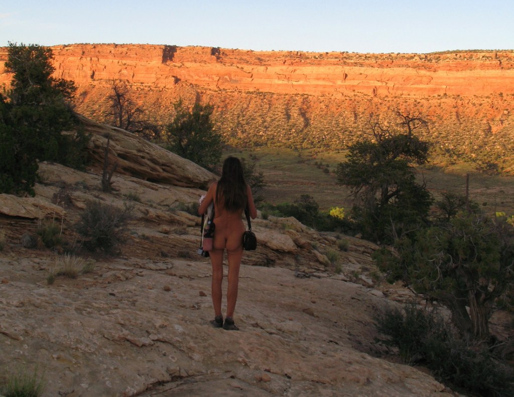
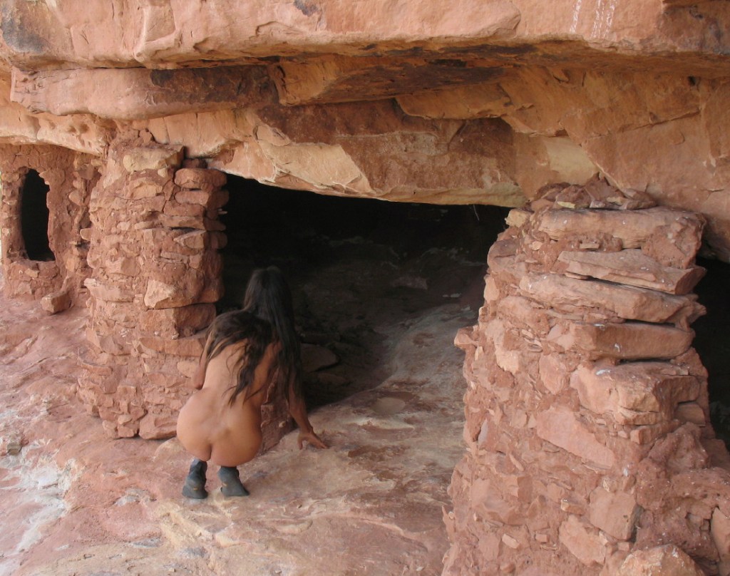
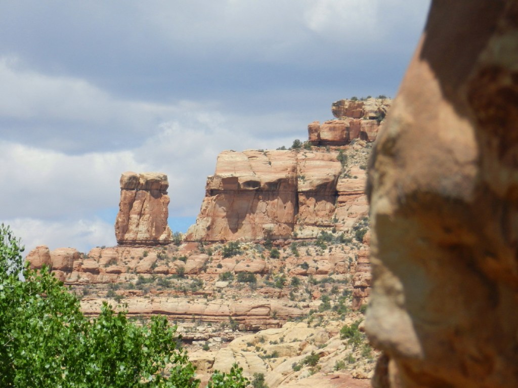
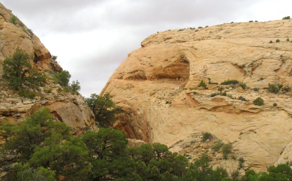
In the distance, I see what has to be Hotel Rock.
It is a massive bubble of colorful stone, seemingly popped out of the flat terrain to prominence. There are ruins placed into its structure. People used to live here.
Having changed our plans to explore Arch Canyon, Utah, I must make alternate arrangements. There are several hikes and archeological sites in the area. We can remain busy, but I have to research routes particulars and make some strategic choices.
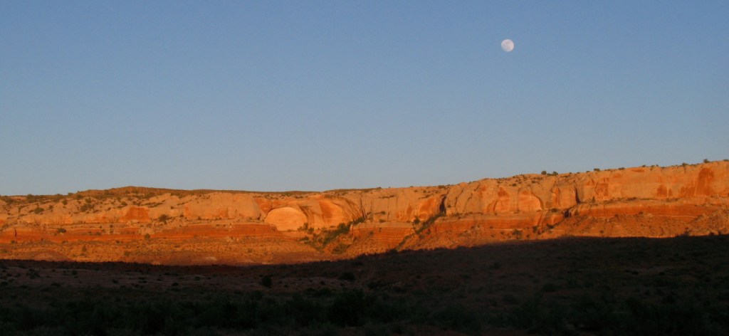
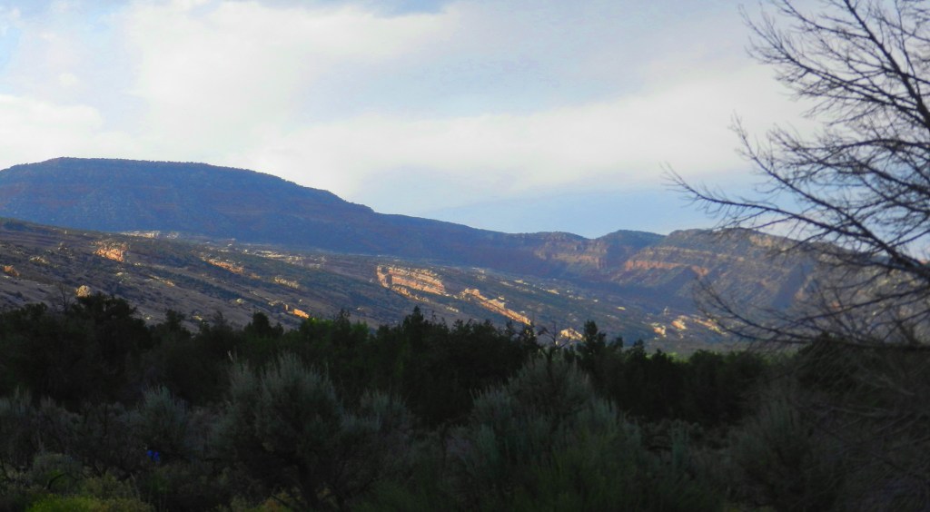
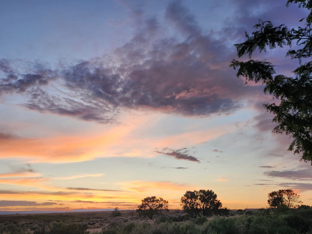
We’ve taken an evening after dinner walk to the top of the local hill next to camp. Up here, we can be alone, bare ourselves to the lovely elements and watch the 360 degree panorama changing with the fantastical coloring of the sunset. Our western view leads up the white, now turned blue, ridge of solid rock. It looks like a small mountain, but we know that it turns into a plain above the cliff walls of Arch Canyon and other canyons in the region.
There is a surprise. We notice a small white light up there. There gives no sound with its movement, it is simply just too far away. Could someone be camping up there?
As dusk’s light fades into darkness, the light begins to move down the long slope. We watch a steady stream of ATV lights snaking down the hill of stone. Perhaps they have been having a sunset cocktail party up there. So there must be some sort of road, or road-like route. One map showed the possibility. One crude drawing showed a route roughly to Hotel Rock, simply a black line.
When these vehicles finish their descent, we can see where the road meets the turnoff below us. This is clue enough. Tomorrow, we’ll explore. At the least, we will find a stunning view and get our exercise, naked. On the other hand, we may have found the way to Hotel Rock.
In the tent, I get out a crude map under the night light.
When we left off last time, we had been exploring Arch Canyon’s ruins. We have a goal in mind up the road that should keep us busy for the next few days. Fellow explorers on quads have disappeared. We are left happily enjoying the air, sun and sense of free ranging freedom. Encounters with others will be very few from here.
Driving on down this challenging 4×4 route, my neck is getting sore and my back tired from the strain. I consciously let up on my grip, but I must also keep a sustained alert eye out for sharp objects and other obstacles. There is a constant turning of the wheel on the up/down weaving thread of a trail, avoiding the potential for catastrophe. We are not alone. ATV’s and well-appointed jeeps are out here, too.
The road is absolutely narrow, and the brush thick. Anyone sharing the route must pull off to the side and there are few spots for that. At one point, a string of professional looking jeeps have pulled off of the side of the trail. They are politely making room for us. I’m thinking that our lone truck would be the one to yield.
We got to the mouth of Arch Canyon in time, happy to get a spot under a tall shady cottonwood stand. There’s a colorful stone wall face on one side and an actual ancient ruin next door.
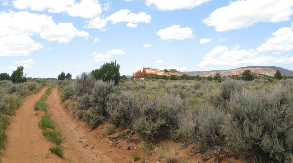
I found this canyon on a map in a travel book. There are several archeological sites in the vicinity. The scenery is as is the usual in southeastern Utah, beautiful and rugged. There is a 12 mile 4×4 road running through the length of the canyon, which ends at a view of an iconic stone arch. I figure that there will be a spot or two around there to car camp, for a few days. Also, at the end of that road, are three feeder canyons. We can hike one nude each day. It looks remote enough to get away from the Labor Day Weekend crowds. Well, that is the initial plan, but things change.
We’ve just spent over a week out in the desert wilderness of Bears Ears National Monument. It has been monumental and we have acquired a compelling interest in the local archeology.
It is time to take a deeper look into our options. We’ll need some gas. Each week we’ll need fresh blocks of ice. We’ll need fresh produce for our microbiology’. Blanding is the most likely source. I’ll need to get on the internet to research where we might go next and get the bills paid. There will be cellphone service there to check on home.
Civilization feels like a return into a strange and busy world.
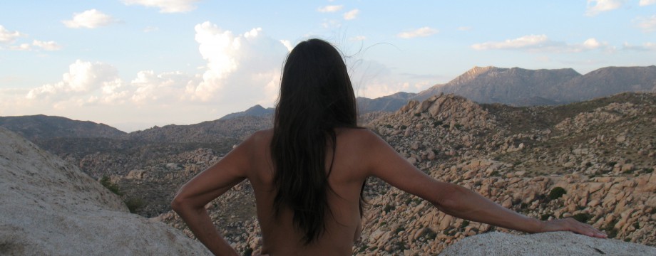
We have climbed to the top of a mountain in Bears Ears National Monument in southeastern Utah. We are sitting on the top edge of the Comb Ridge. We’ve been taking in the awe of the massive rock formations and its vistas from this peak.
There is no want to leave, but we must. Down slope, the five finger shoes engulf my toes, as my feet slide through toward the tip of the shoe. The feet are held back by the structure, stopped by the inner toe next to the ball of my foot, unlike a regular shoe. I will lose no toe nails. I’m grateful to have these expanding toes. A couple of miles of this would definitely take my toenails in any other shoes.
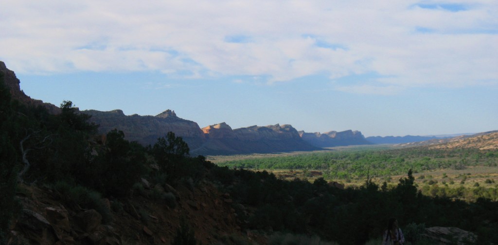
We’re in Bears Ears National Monument. I believe that we have found a remote and less used canyon etched into the Comb Ridge near the Lower Butler Wash Road. Arriving in the afternoon and scouting, we had been blasted by a massive dust storm into last night. It brought us cooler calmer weather this morning, quite peaceful in contrast. This morning, we’re heading up into the canyon to explore the rugged geological awe and search for evidence of an 800 to 1500 year old Native American lifestyle.
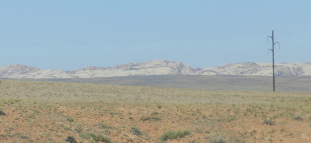
After finding our way out of the Valley of the Gods, we’re turning back onto the asphalt road. Before heading out into some hiking along the Comb Ridge, we need to visit another unknown, Bluff Utah. We’re hoping for gas and ice. It didn’t look like much on the satellite image. Again, we just don’t know what to expect in this region. We pass and nearly miss a turnoff onto a dirt road. Strikingly, this is the Lower Butler Wash Road, which is the main conveyance north along the east side of The Comb Ridge. It looks desolate, empty and the map shows that it goes for dozens of miles.
After Bluff, the plan is to double back and drive up this surprise, looking for hikes and solitude, in random canyons and whatever else that we encounter. My information tells of well-known canyons, cliff dwellings and petroglyphs in the area. I’m hoping to find the canyons less traveled, where I’m told surprising rich experiences abound. The plan is not a trek through such a bland looking desert!
As we slowdown from highway speed as per the signage, Bluff begins to unfold. Still, it doesn’t look like much. The outfitter store/pizza restaurant is regrettably closed, but there is a Bears Ears Visitor Center next door. Generally, my experience with visitor centers is to be simply channeled toward crowded tourist places to glean my money, a tool of manipulation of the local Chamber of Commerce. This information center looks small and the signage shows the support of other entities, preservation people. It is called “Bears Ears Education Center.” It somehow gives me the impression that it isn’t just a tourist trap. We decide to check that out on our way back. I still have a very muddy knowledge of how to find the solitude and freely nude experience that I’m looking for. I need more than books and a few tips from friends. I need local’s knowledge and experience.