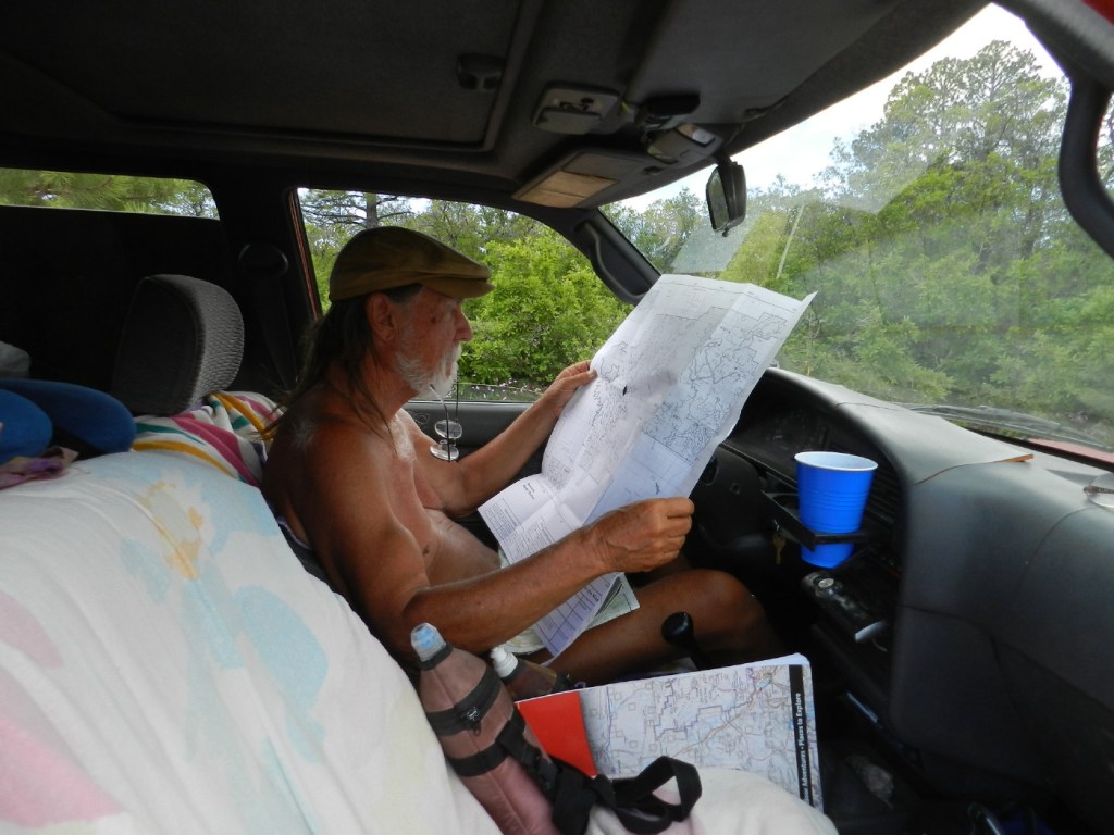
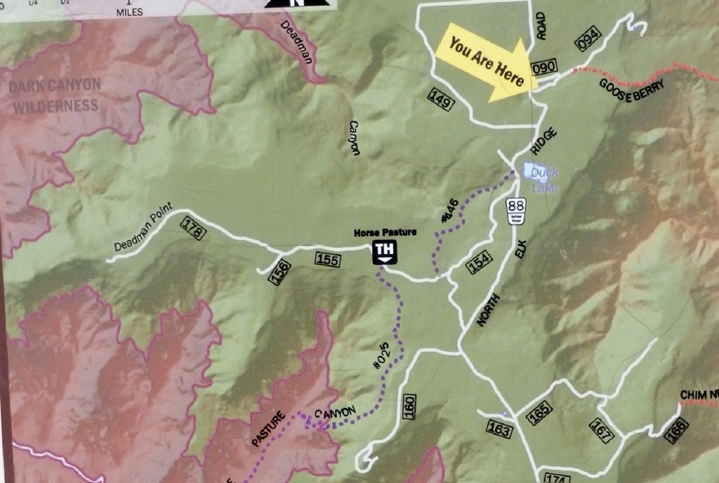
We will have to pay attention for the small signs with simply numbers, my sense of distance and direction, and compare this information to the squiggly lines on our map. Any little missed item could mean driving miles out of our way and back.
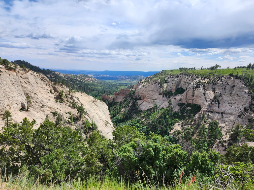
The first find is a short trail to a lookout into Arch Canyon.
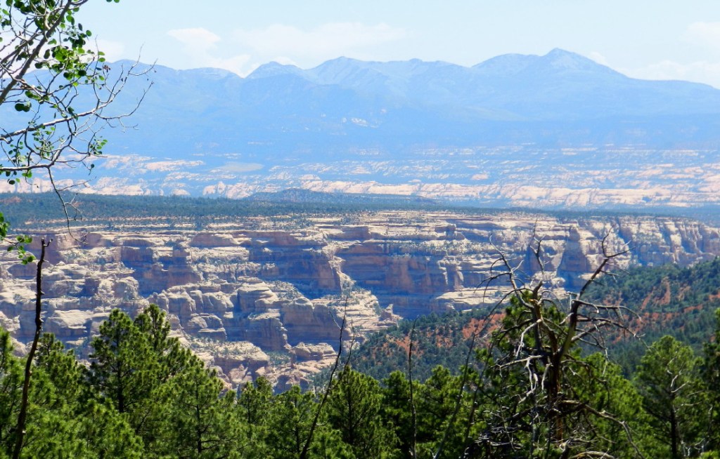
We spent a few days down there, just last week…or was it the week before? There is an option here. We could continue this trail down, steeply into the wilderness of the canyon with backpacks. That would require some planning and maps.
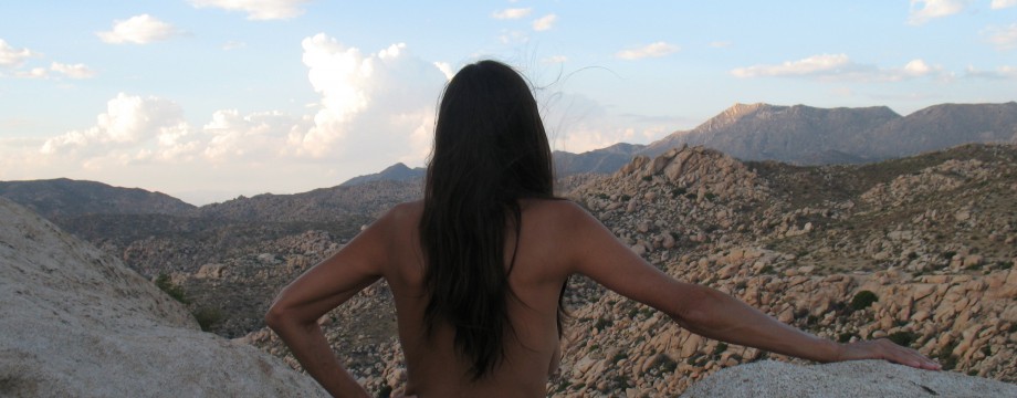
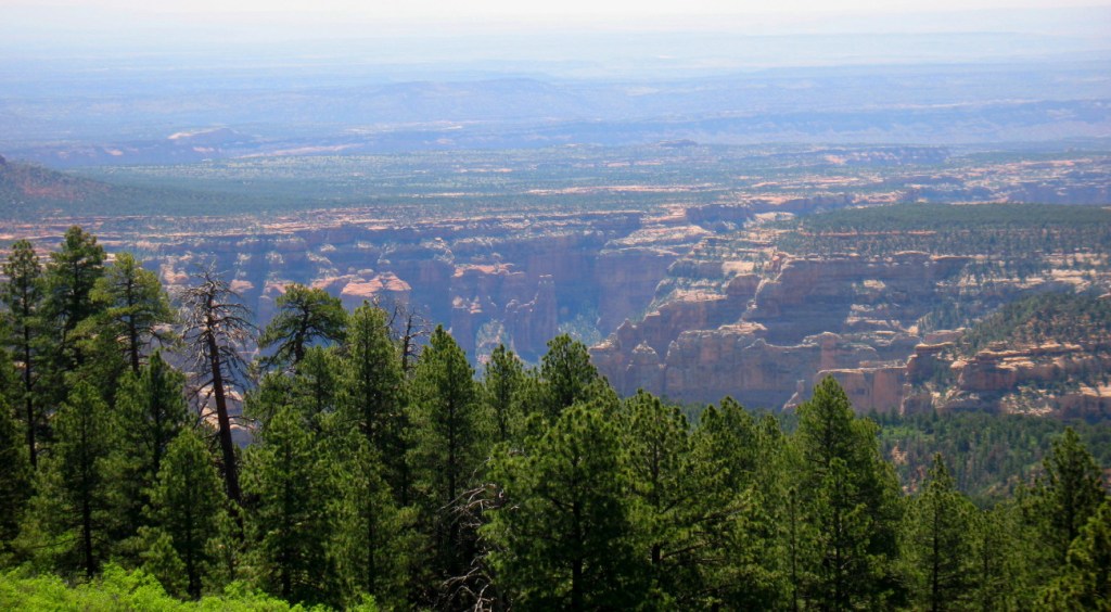
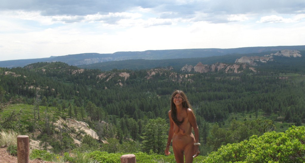
A pickup is parked here. Soon enough, we realize another couple, who happen to be leaving. It works out that we don’t have to dress for them, or anyone else. We get out of the truck to explore. Through the brush and trees, there is an end of the world drop off and a vista into infinity.
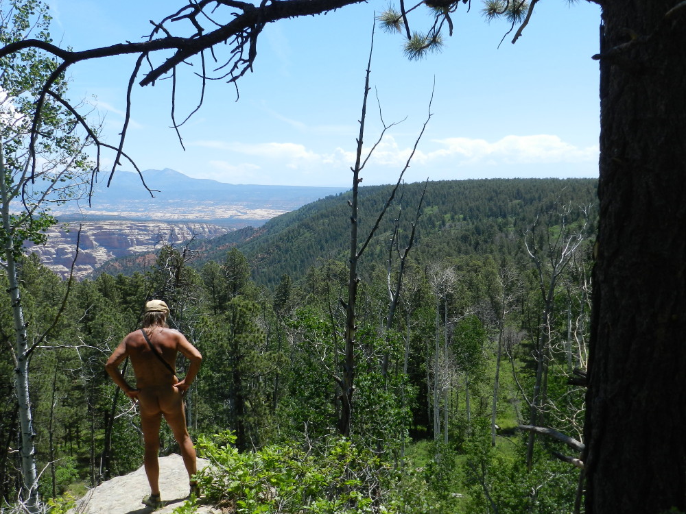
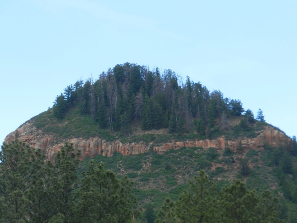
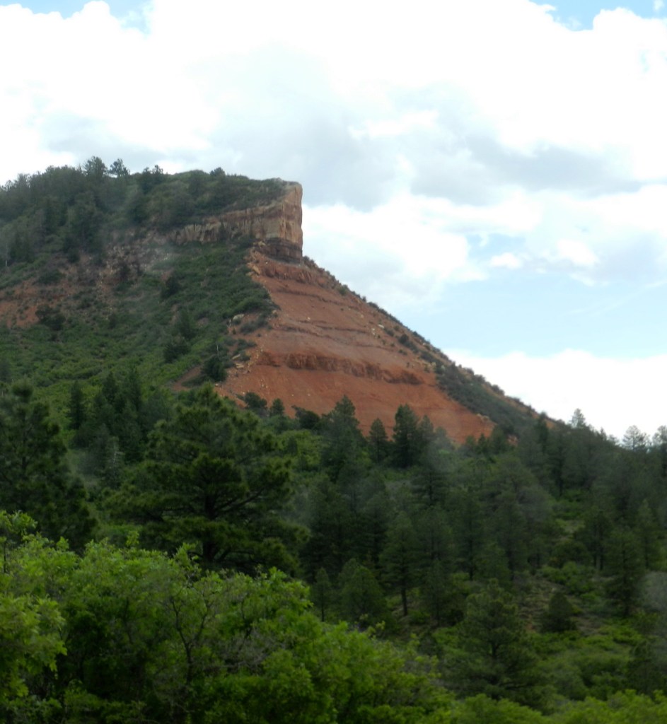
Below are the colorful cliffs and channels, which have been dug out of the flat plains that stretch and fan into a vague horizon. I stand on a rock and see the other side of the forest, the Blue Mountain. I recognize it from seeing its distinction from so many other places. It will be our destination. We sit just long enough, but our day has only begun and there is much more.
It is random, but we see that same couple, or their truck again and again during the day. We pass them, we stop, we drive on, and then there they are, once again. During this entire day, there will be only this one other car, except the one we wave at about 45 minutes into the trip, as it proceeds the other direction.
Later in the day, as we get to the other side of the mountain range, a handful of more vehicles appear.
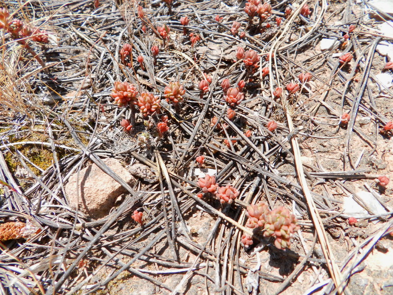
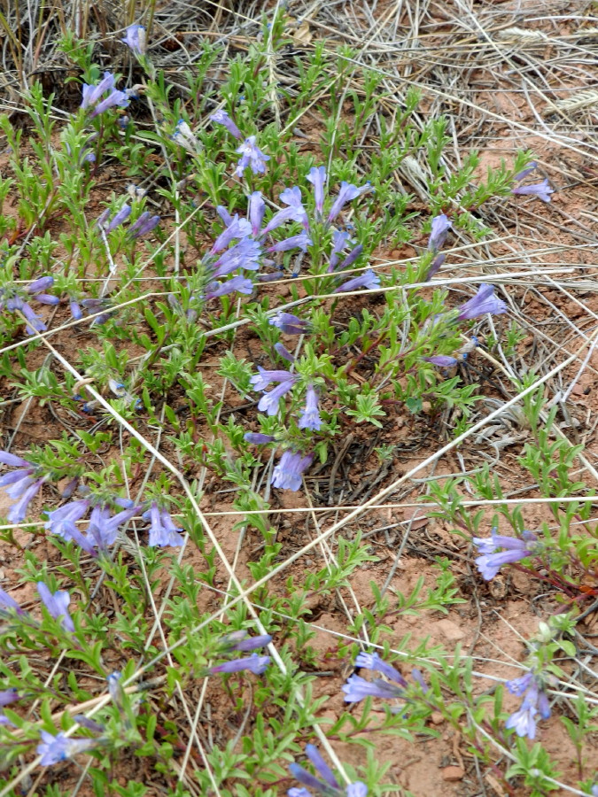
There are flowers along the way.
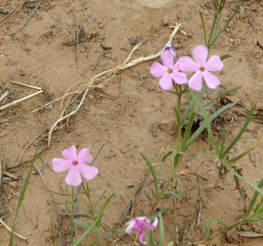
They appear in patches.
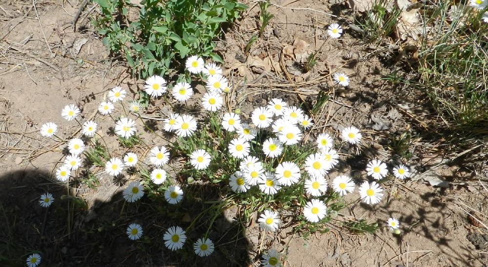
When we stop for any reason, they seem to welcome us.
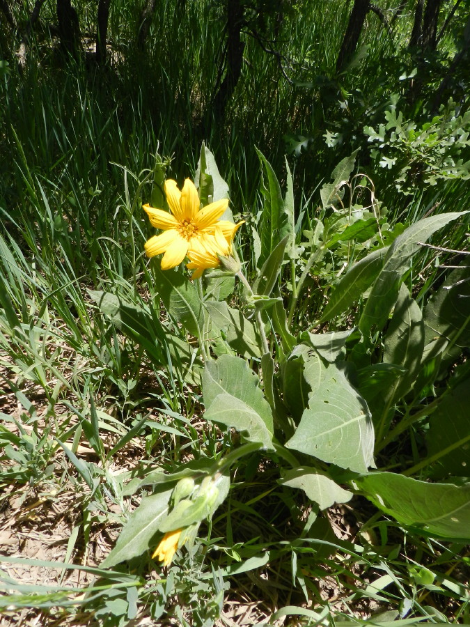
Maybe that’s just a flower’s job to be welcoming, attractive.
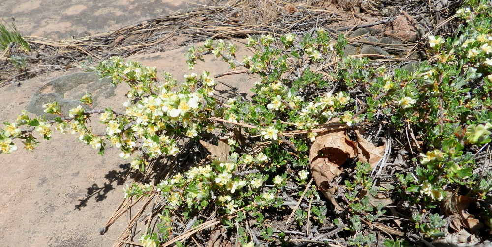
Many can’t be seen by me, or appreciated, while I’m busy driving down a dangerous section of road.
The drive is demanding of my focus, the truck is demanding in its rugged nature.
One landmark that I am looking for is a road turn off. It heads down into the Canyonlands to the northwest of the forests. My research told me, in literature before the trip, that more solitude and sense of freedom can be found there. During this trip, we have discovered that we have that anyway, without the road least traveled. I do find a sign demanding 4×4 high clearance.
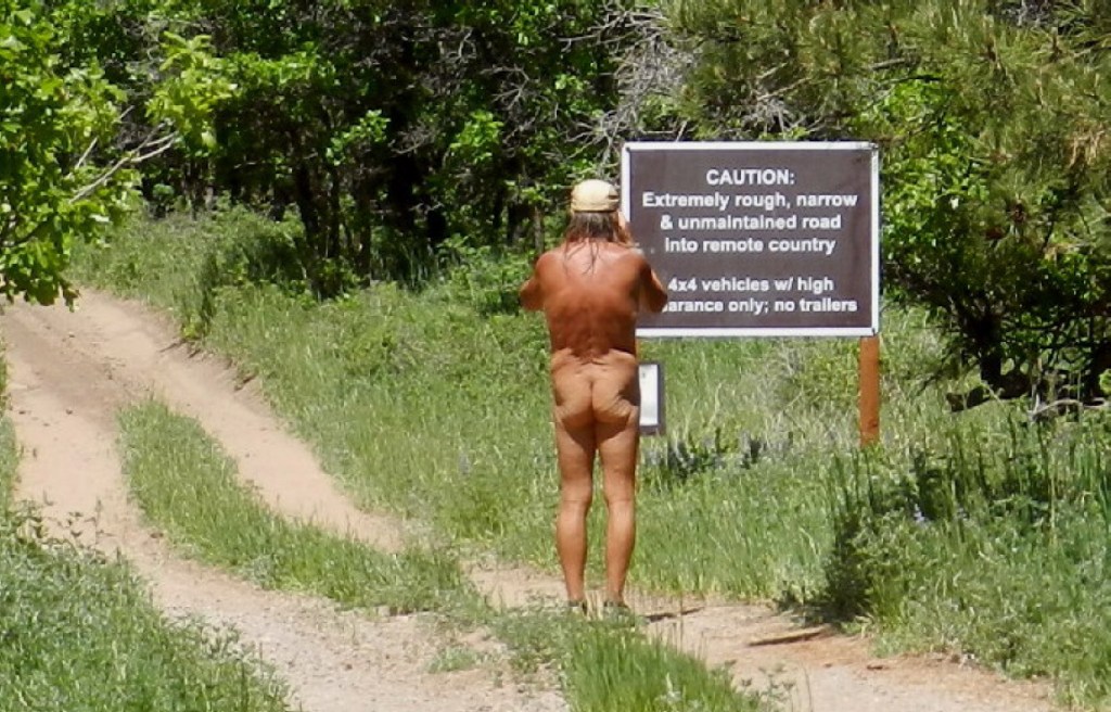
The road and hikes are dangerous. There is a certain discomfort on a difficult remote road without a backup, or communication device. There is a foolish risk to walking into the area without secure knowledge of water sources.
Further up the road, yet another possibility is found, which gives an updated and even more sternly toned announcement. This road is out.
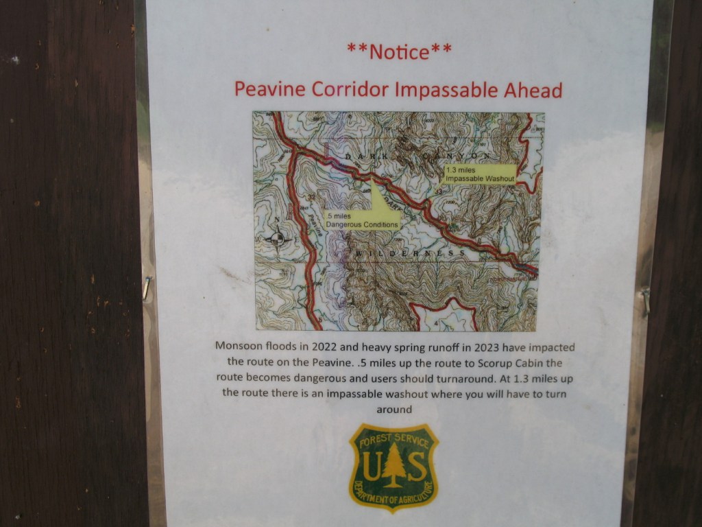
Backing out a steep and narrow road on the side of a cliff where I can’t turn around, would be just one of the scenarios that I’d thought of. These things are dangerous and more so without a competent partner’s vehicle for backup.
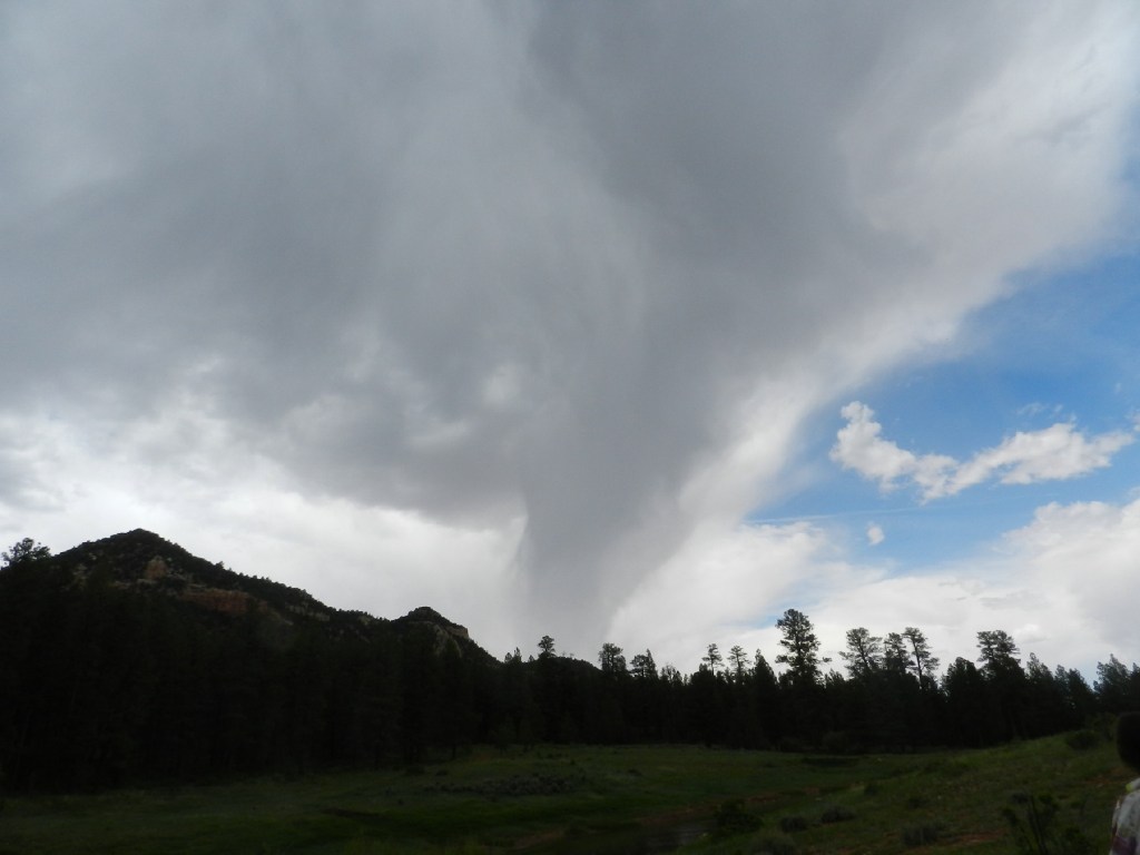
Dark clouds are gathered to the northwest. There is rain falling from under them. It could be coming our way, making the road more difficult. We may have to deal with that.
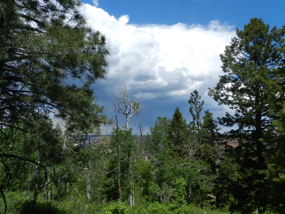
The winding road has me baffled. It is as if we are driving in circles at times. The rain moves back and forth. In the end, we’re out of it. There have been only a handful of errant sprinkles. We haven’t had a drop of rain this entire month long vacation.
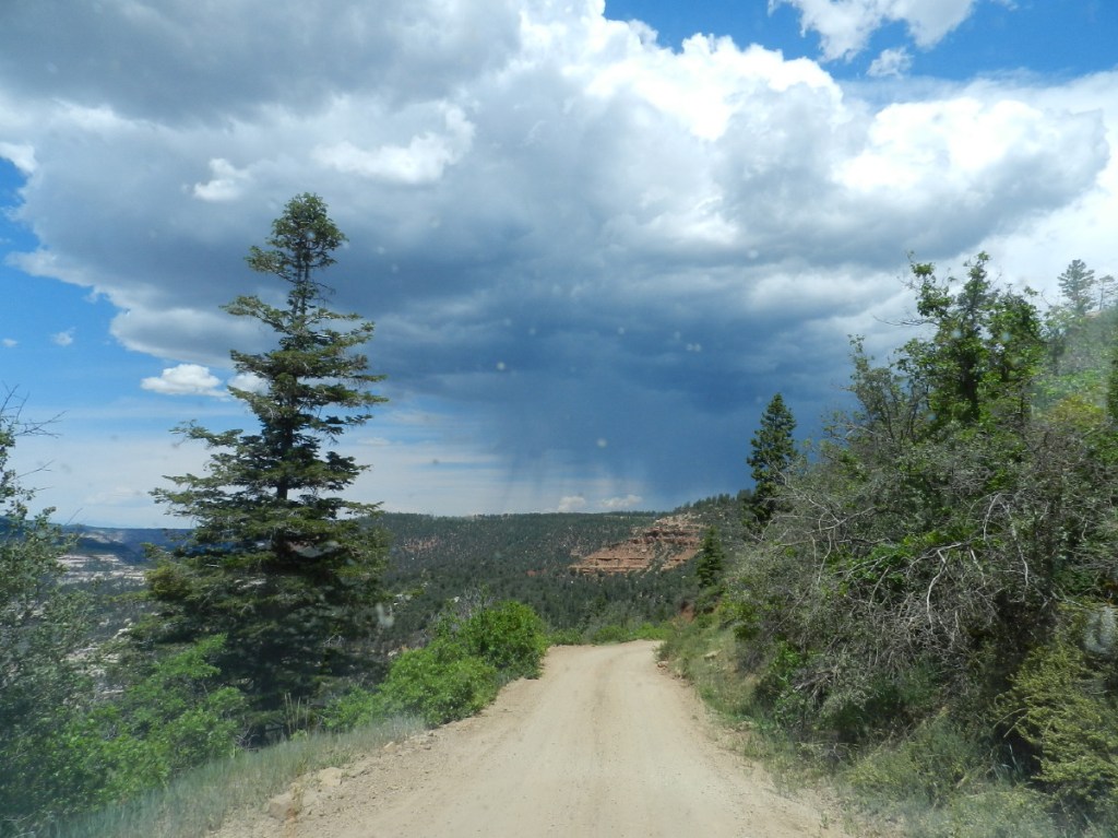
We spend quite a bit of the trip on a high ridge, surrounded by low areas as vistas. Often the same thing is seen from different angles. I turn around a bend, looking at a feature that I saw miles back along the road. Even the repeats are generally magnificent.
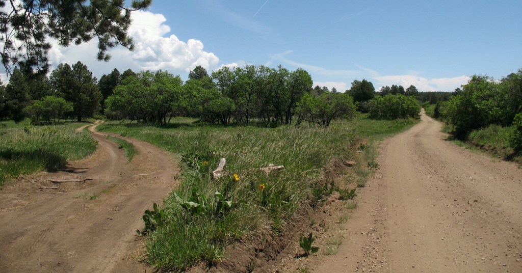
In a flatter green forested area the road forks but the map’s road doesn’t. The signs indicate that both are the correct road and the numbers naming them have changed, as well. The strategy of choosing the more likely route is eventually replaced by a hunch. The hunch plays out, well.
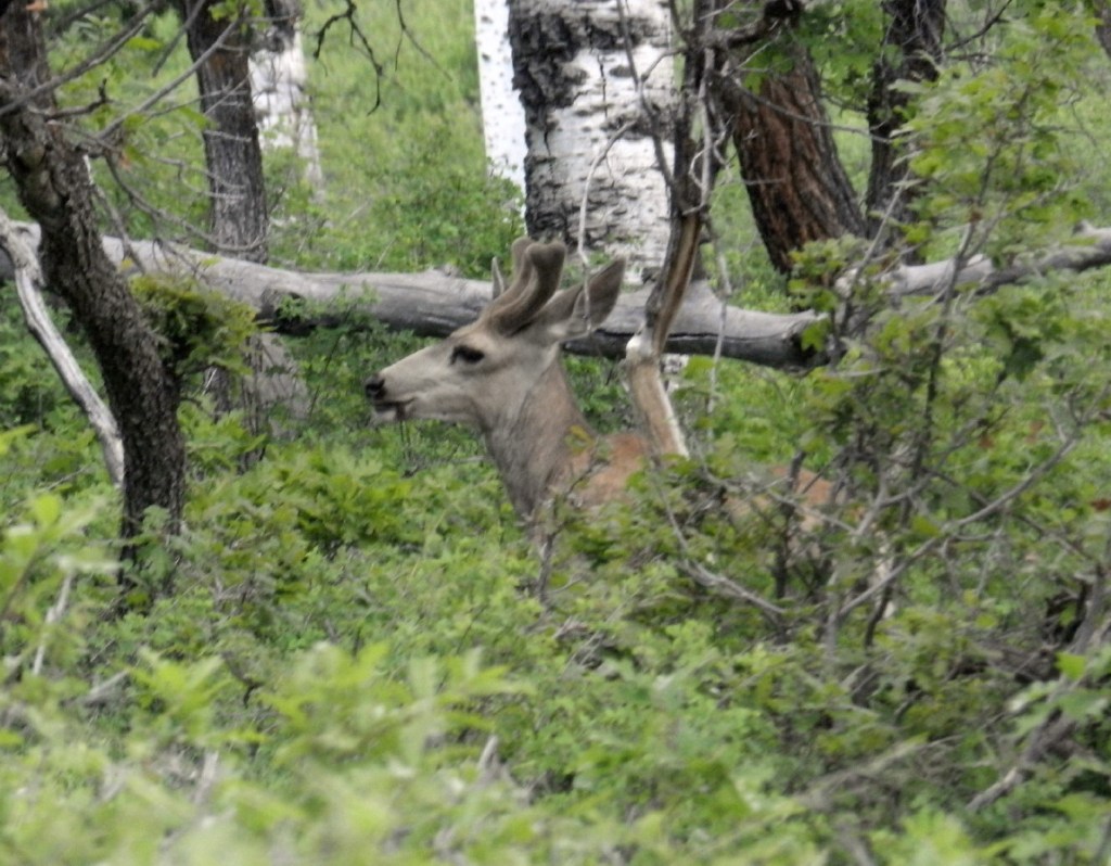
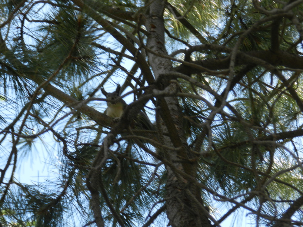
I pull over to take a break. A squirrel hides in a tree as DF tries to photograph it. It reacts alarmed, like an invasion of aliens. It seems to communicate, “There goes the neighborhood.” It’s cute.
A near half way mark is “The Causeway” a thin one lane piece which gives the sense of a bridge. There is nothing but air off of the side of a guardrail.
A very deep gorge sports colorful rock features, stretching out for miles. This is not new to the day, but here, it is the same on both sides of this barely one lane bridge.
So rugged and bare, the distant rock surfaces look dangerous. Yet many of these bare rocks are highways through the wilderness, a smooth paved unmarked wide sidewalk.
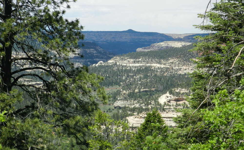
I love the contrast of these multi-colored formations and the deep green of pine forests.
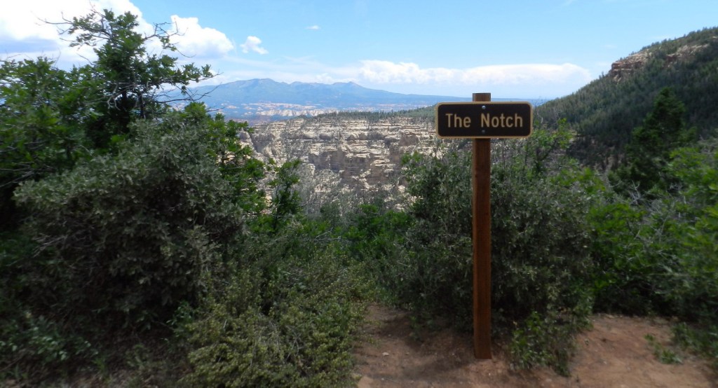
“The notch”
Namesakes like Deadman and Dark Canyon show us signs and how we consider not to attend some of the spots.
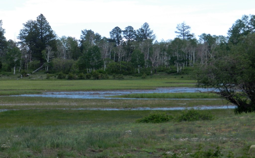
We had been given a tip by a guide who grew up in these mountains about a remote lake. A water feature is always a plus.
In this dry season, we have seen little water. We begin to be surrounded by red hills and soil under deep dark green forests, a beautiful favorite terrain of mine. The map leads us past a lake.
A jagged, giant red castle with hoo doos for towers look down upon us.
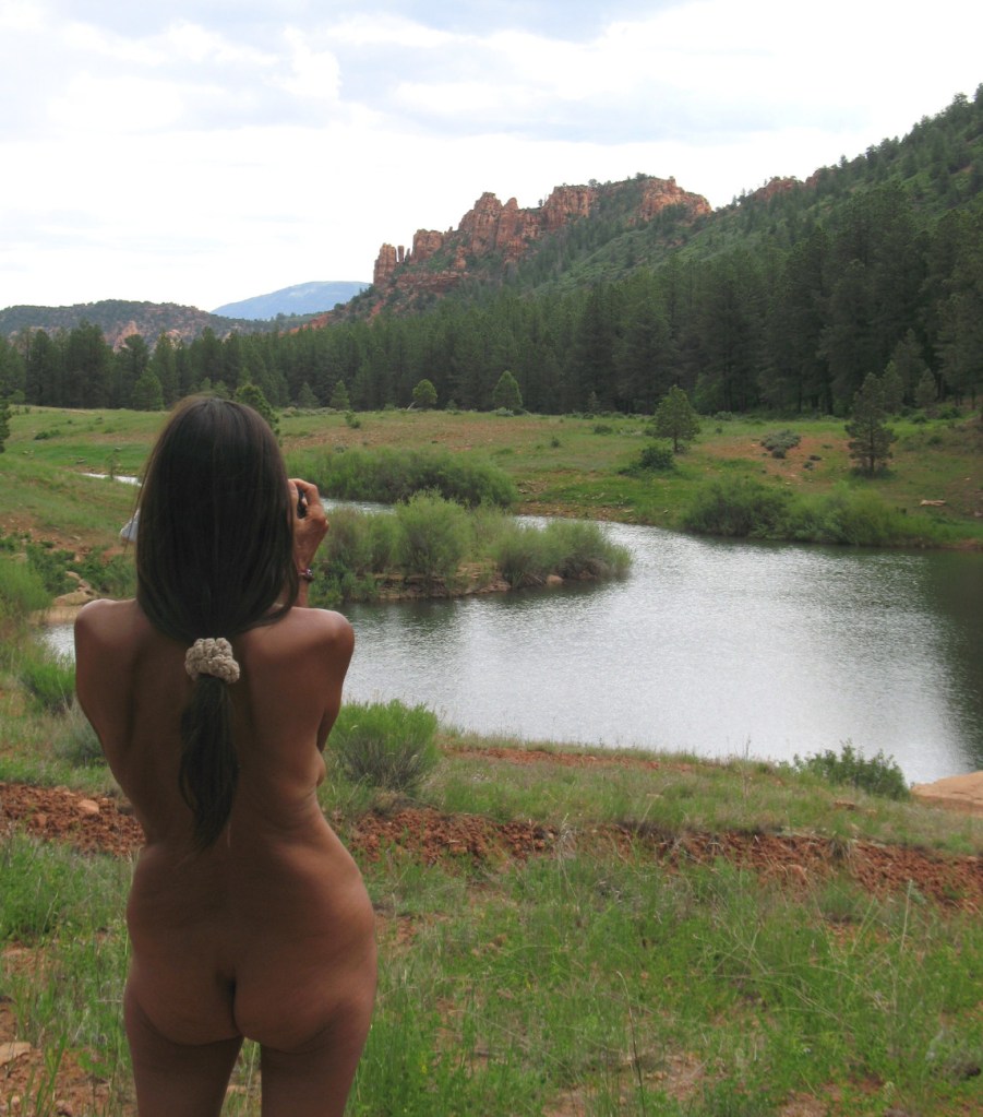
We park aware that the area is to ourselves and climb out of the truck. It is quiet and stunning to look out at. The air smells of moist fresh pine, clean with a bouquet. Curiously, at this goal, where we had considered camping, large warm raindrops begin to sprinkle down.
The wet drops thin out and then stop and then return.
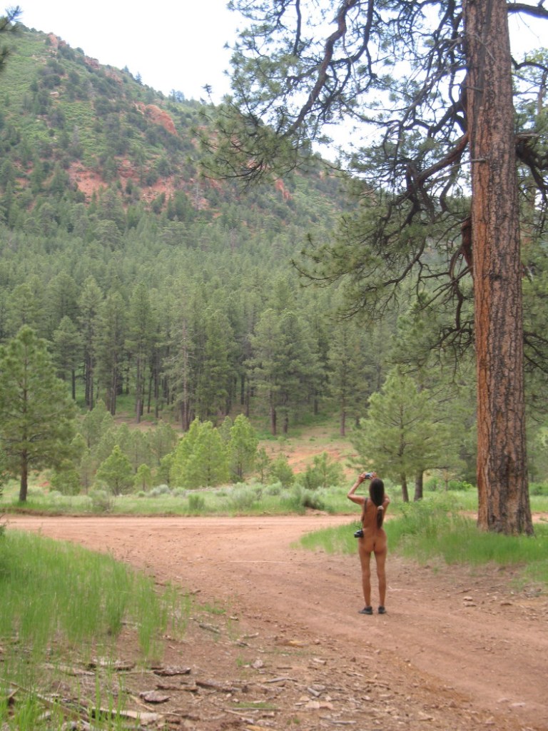
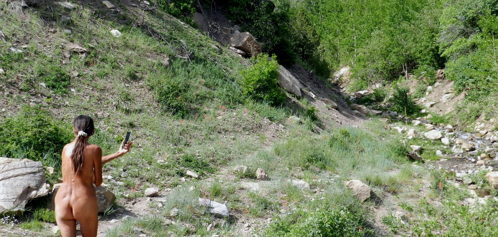
It is not an issue. No clothing to get soaked and no chill. We are ready for a nude walk in this paradise.
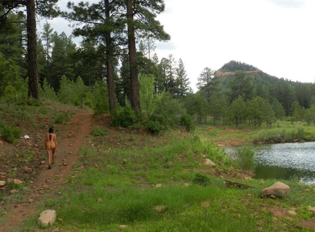
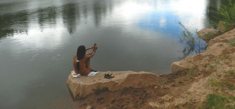
We walk along the edge of the ponded creek and delight in it all.
DF sits down on a rock to discard her shoes and test the waters with her feet.
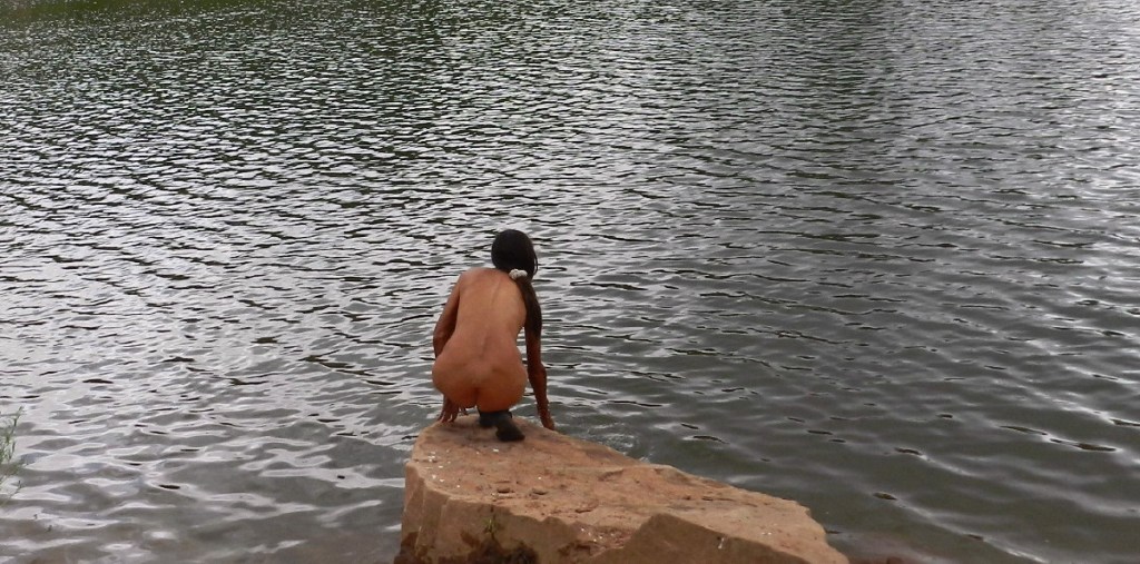
A few raindrops create ripples in the small lake.
Then, her feet send out the waves around her. Her body stiffens, “It is so cold!”
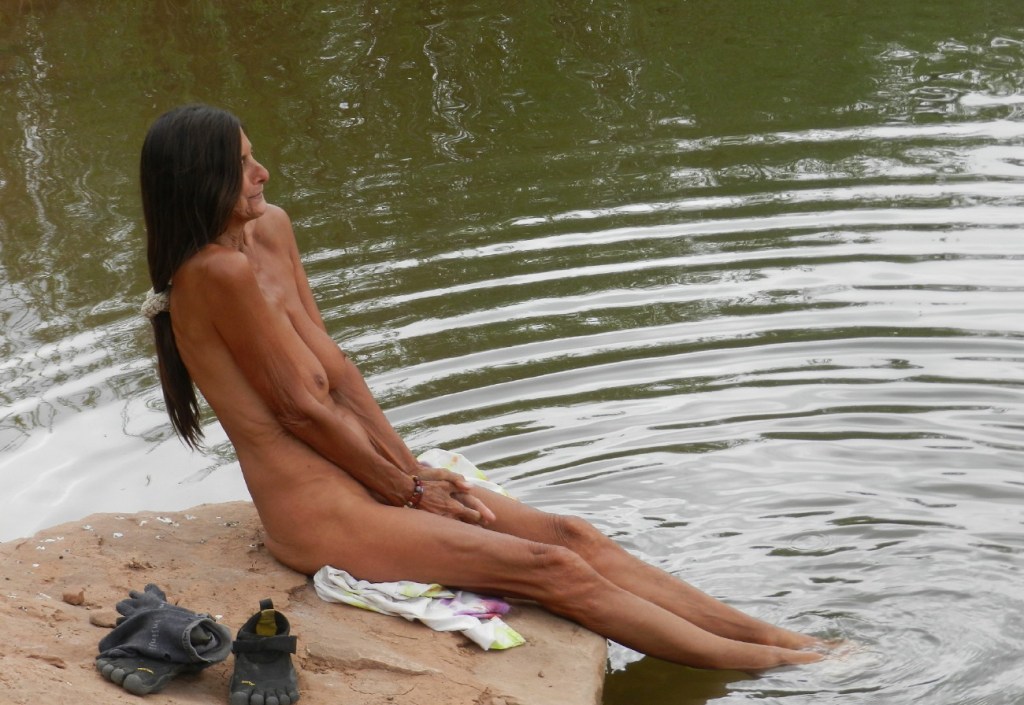
Another dip and this second time, cold turns to refreshing. Feet adapt with attitude to adjust comfort. We think things out, “Do we stay, or do we go?” Then, wrapped up in the pleasure of it all, moments running into moments and we have spent a time here.
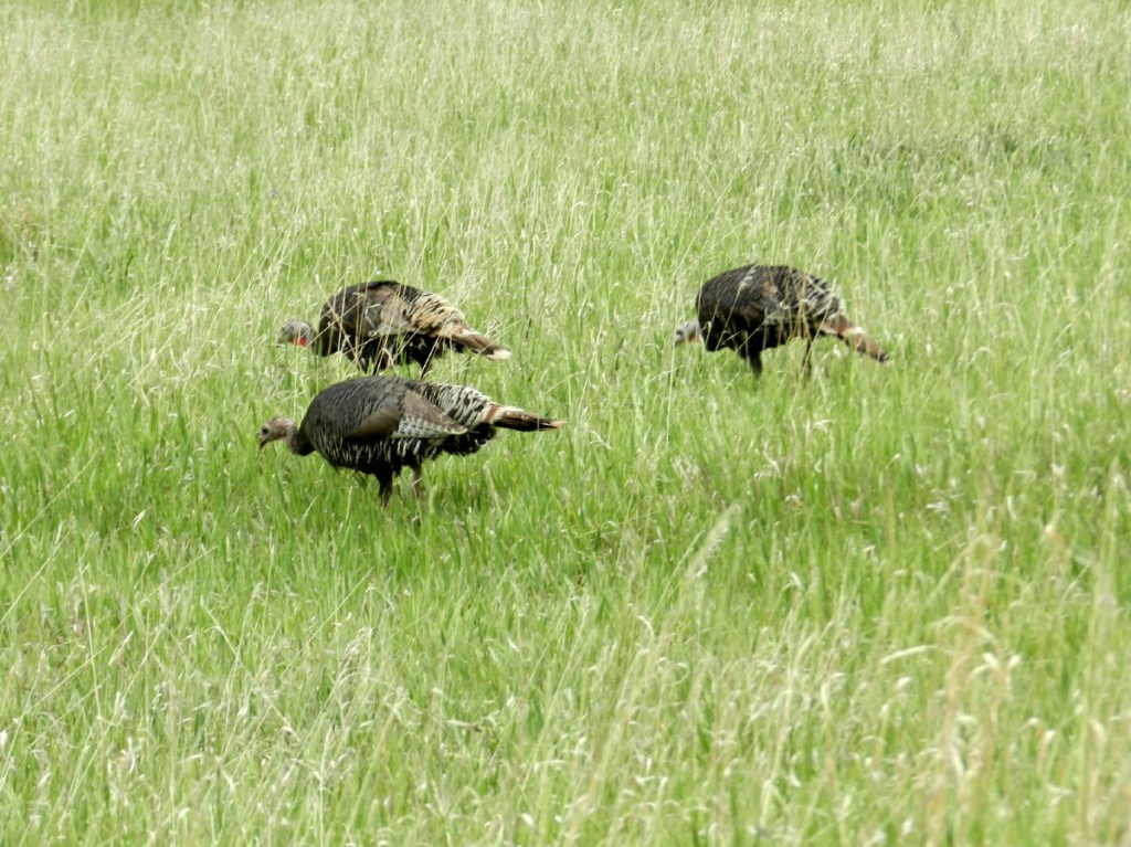
Back in the truck heading back down the road, in a large green meadow surrounded by pines, a group of turkeys wander.
The road again gets that hazardous feel about it, until a landslide narrows it even further. Rocks newly shifted are threatening. The road has yet to be properly graded. Rocks lie in the soft road’s surface.
It is here, when Murphy’s Law kicks in. The first car in several hours needs to share this mutilated piece of the road. Why here of all of the places? We smile at the others; we collaborate and pass each other very slowly and safely.
There have been no cars, just fear of them and caution this entire day of blind bends and narrow roads. Perhaps they wouldn’t have met us without such slow moving cautious driving, if it weren’t for the fallen slope.
Down the road, on a curve, we see a very nice, but broken trailer on the side of the road nearly falling off of a cliff. About twenty minutes later, a truck for assistance is seen in passing, on its way to rescue the expensive trailer.
One of the few mountain streams crosses under the road.
After five and a half hours of this grueling road, even in 4×4 high gear to minimize drifting, I’m beat.
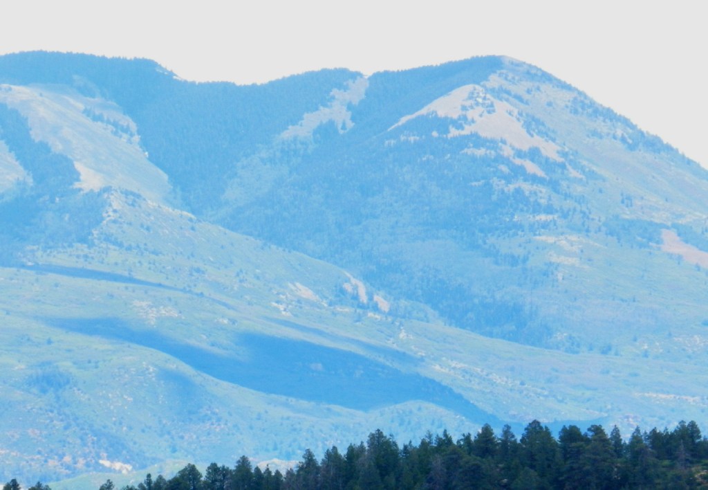
On the south face of the Blue Mountain, before the highway, I find a turnoff. It has a campsite.
I’m ready to camp.
More about this Blue Mountain, soon:
I am on the forum of FreeRangeNaturism.com often, if you would like to converse.
© The owners of TheFreeRangeNaturist.org as of the year 2015 declare. Unauthorized use and/or duplication of this material without express and written permission from this site’s author and/or owner is strictly prohibited. Excerpts and links may be used, provided that full and clear credit is given to TheFreeRangeNaturist.org with appropriate and specific direction to the original content.
