2024-05-21
We’re in Bears Ears National Monument. I believe that we have found a remote and less used canyon etched into the Comb Ridge near the Lower Butler Wash Road. Arriving in the afternoon and scouting, we had been blasted by a massive dust storm into last night. It brought us cooler calmer weather this morning, quite peaceful in contrast. This morning, we’re heading up into the canyon to explore the rugged geological awe and search for evidence of an 800 to 1500 year old Native American lifestyle.
We find another, more level, alternative path up a very steep sand slope, leading out of the riparian forest that we must cross from our campsite. This approach to the trail, leaves us looking for the trail that we found yesterday afternoon in the scrub. The foot tracks are completely gone with the wind.
We find some familiarity, after crossing through scratchy waist high scrub and eventually find the route that we took the previous day. Soon, three washes later, we’re in the canyon, standing on the slab of rock where our exploration ended yesterday.
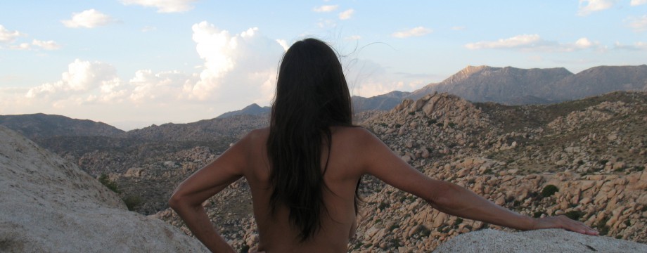
There is overcast this morning with blue breaks dissipating. This shades bare skin and but the breeze has a chill to it. DF keeps a cotton tie die shirt on for now. I keep a long sleeve T-shirt for warmth, to block sunburn and to cushion my backpack shoulder comfort.
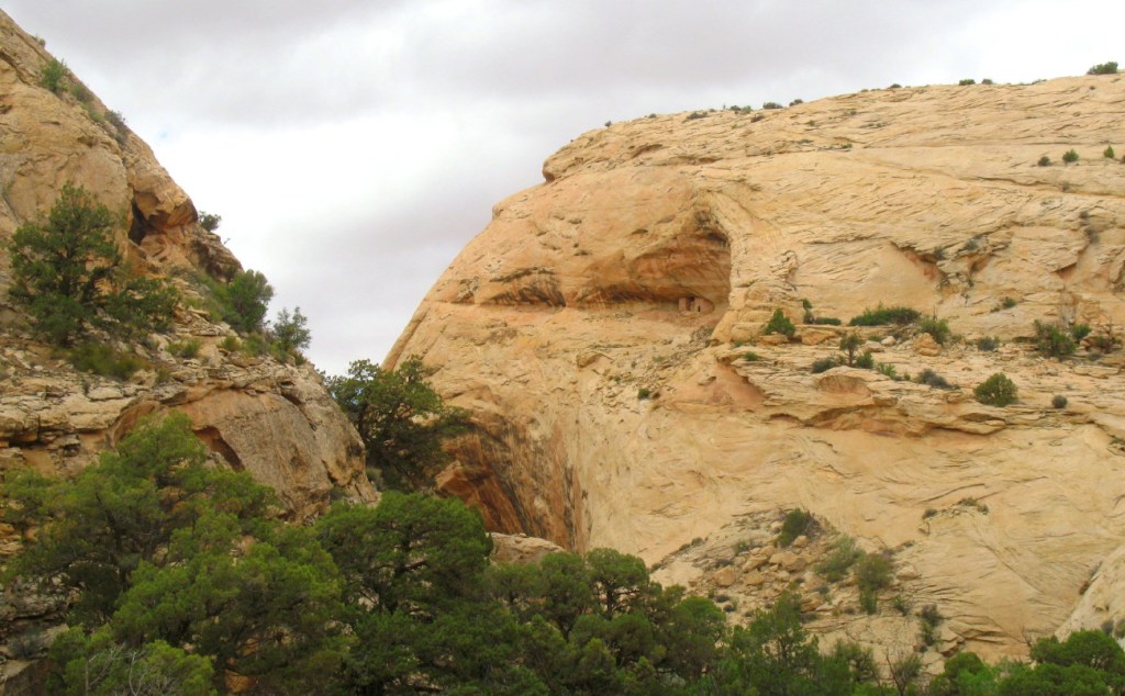
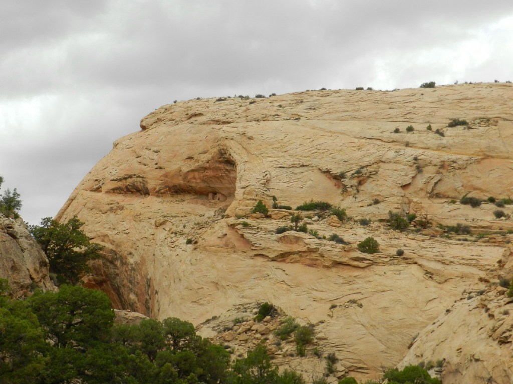
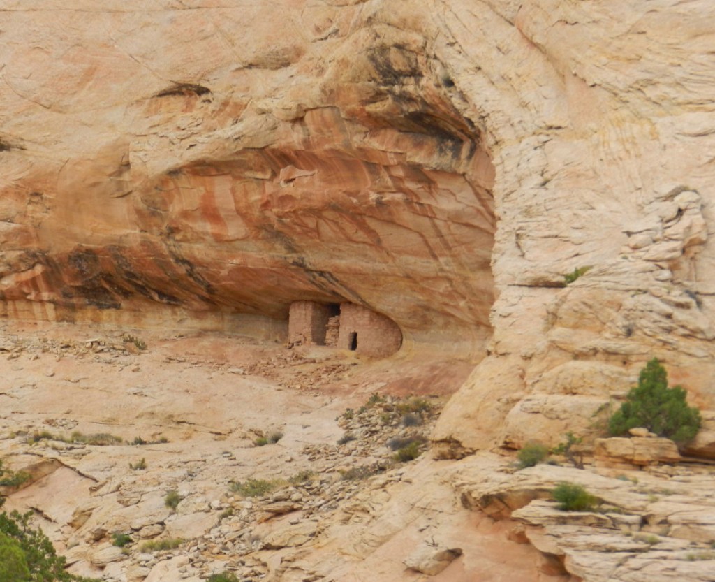
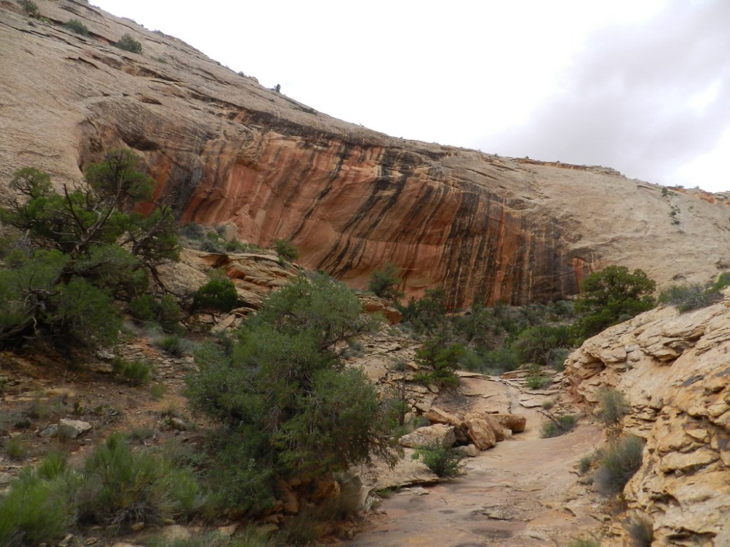
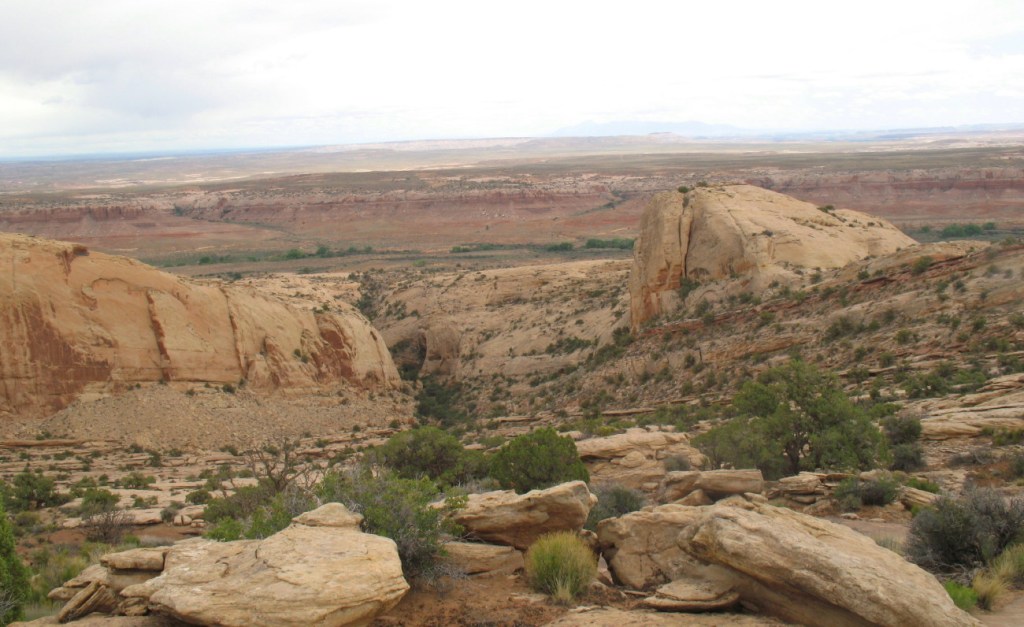
As we walk through the increasingly lush canyon, the walls grow taller and soon to several hundreds of feet above us. The geological formation does look like a huge fish mouth. Higher above, we imagine eyes. We have been told of Native American ruins. There, as if its eyeball, we spot a small two story tower building high on a cliff. It looks as though a rock shelf will slope up to it.
We begin that climb. The sandstone here is gripped securely by our five finger shoes. The slope is close to a stair-step’s grade.
At a good elevation, I can see where it meets the level of the ruins, which should be easy and safe. There are trees and fallen debris crowding us toward the edge, but it is a good passage all in all.
At the level of the ruins, the last curve looks washed out, perhaps it had been a defense strategy. Perhaps there was a narrow entrance more easily defended from intruders, or a bridge around the thin passage. Perhaps it is this way just from erosion over nearly a millennia. It looks thin, steep, precariously slippery and the cliff drop-off is around three or four hundred feet. I don’t feel comfortable with it.
We climb back down, deciding to continue our search on the canyon floor. There is likely more archeology in this canyon.
We resume our hike up the valley to see what is there. Juniper berries cover ancient trees. There is shade.
Drought is tough here. There is a path and a few footprints, none are fresh. Colorful high cliffs loom on both sides of our ascent, making it difficult to get lost.
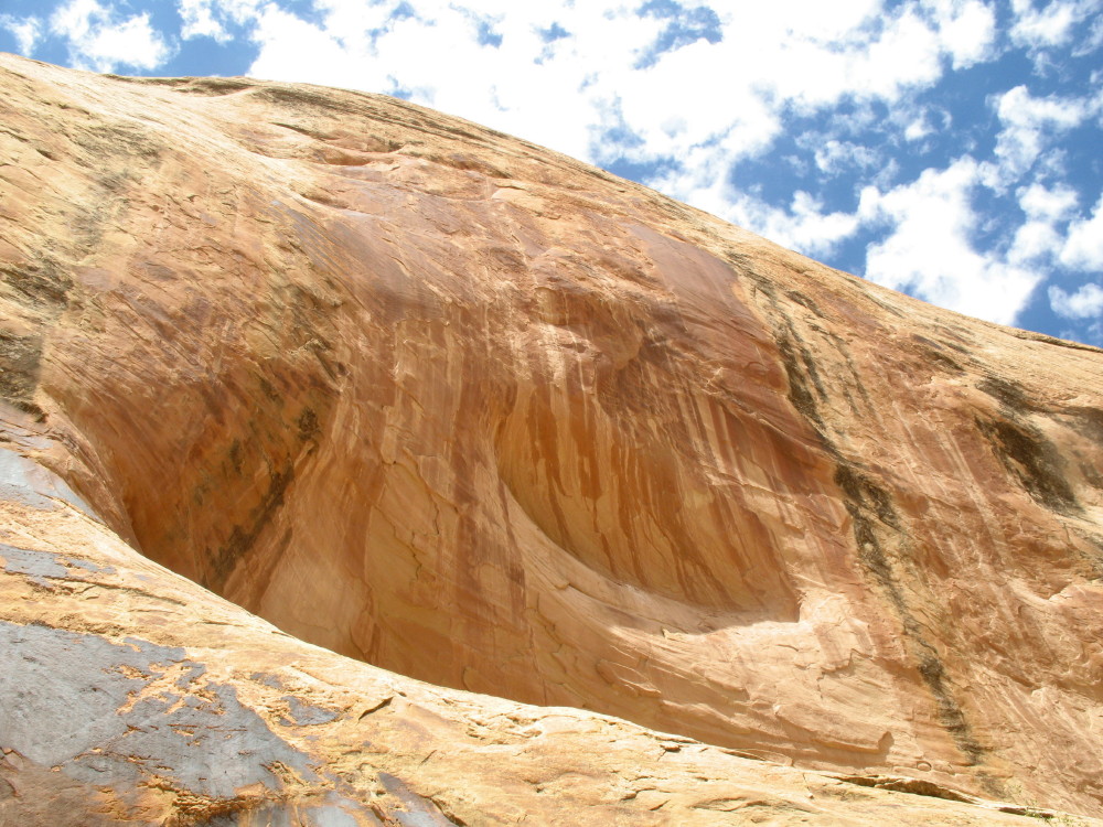
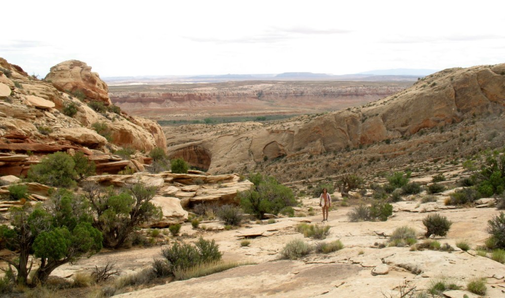
We find that there are three huge cavities in these rock walls. They are arched. Darker, discolored rock have them looking like huge caves in the shape of a fish mouth. These are generally where habitations are found, but no more evidence is seen. We’re further up the canyon, where the tower has now disappeared above the curve of the rock face high above.
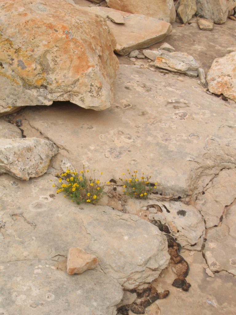
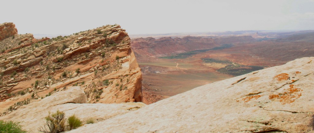
There is some topsoil, but mostly a creek bed filled with pieces of fallen sandstone. There had been soil wall to wall, but a flood event has cut and washed its fine sandy textures away. Perhaps this is what contributed to the stress that drove away the inhabitants. Like others in the region, they engineered centuries of watershed management, cultivation of a garden water table with springs and storage. Rains can be sparse and it is essential to make use of the water and the season. For hundreds of years, the land supported these people. It likely was washed away by the actions of rancher’s cattle hooves and over-grazing. Cattle degrade the roots and plants that hold the frail topsoil, they make trails which become funnels when it rains and one event can do much of the erosion, making deep gouges in the precious nutritious soil.
The thin canyon and steep high walls would also manage deer and the many wild animals that would come here. Perhaps a fence, or a guard could corral a deer lured by the crops. Deer trapped between canyon walls can be easily hunted. Although there is fortress refuge and storage above, there were many people living in huts in amongst the precious crops, where they worked down here below.
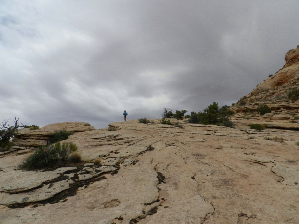
I find a slope from another layer of the exposed rock on this east side of the comb. It appears to go to the top, where it meets blue sky.
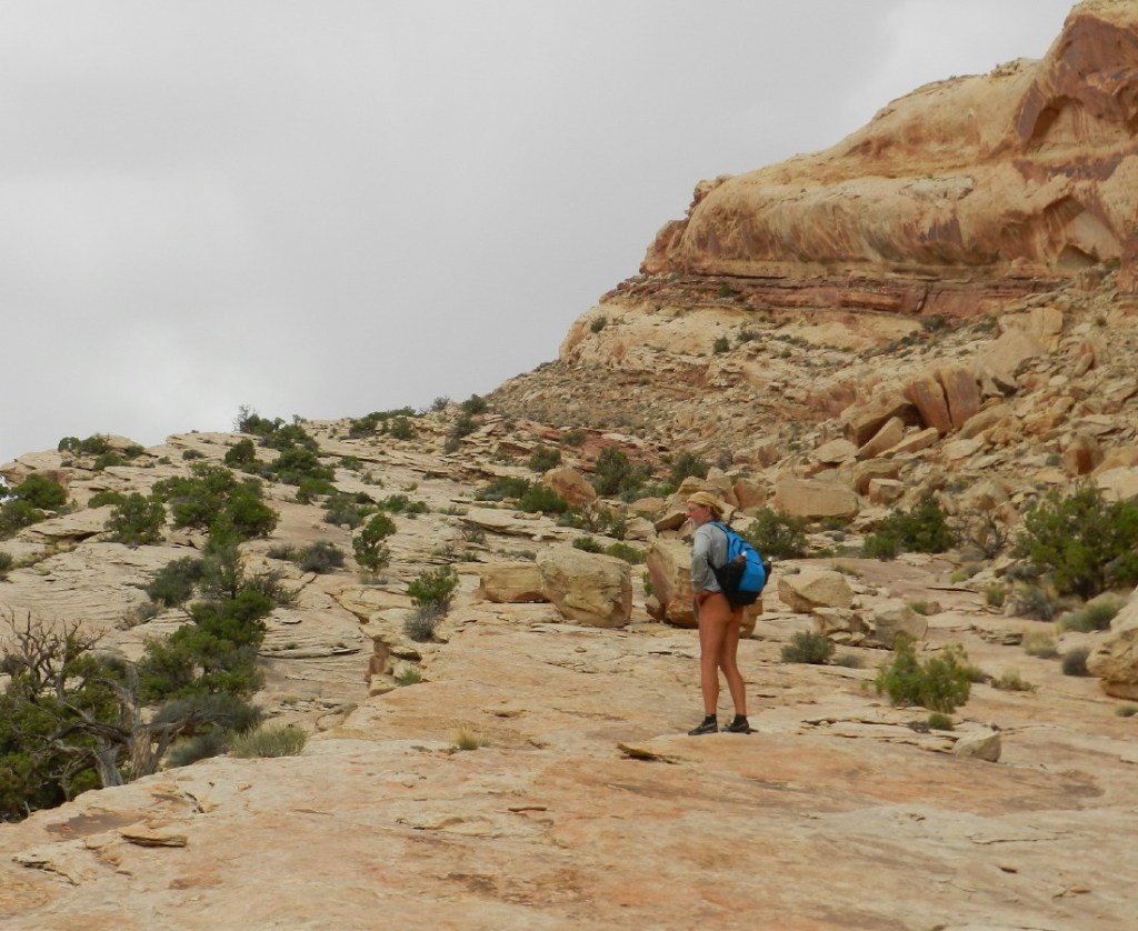
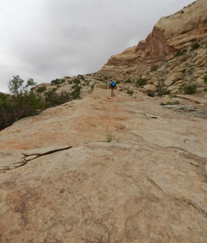
I already know that there are 80 miles of a long cliff drop off on the other side. We decide to use this route to the top of the mountain. We begin the long climb. There are so many hundreds of steps up on this perfectly gritty rock. I think about my stair step exercise machine back home and how just 200 steps feel. This is continuous.
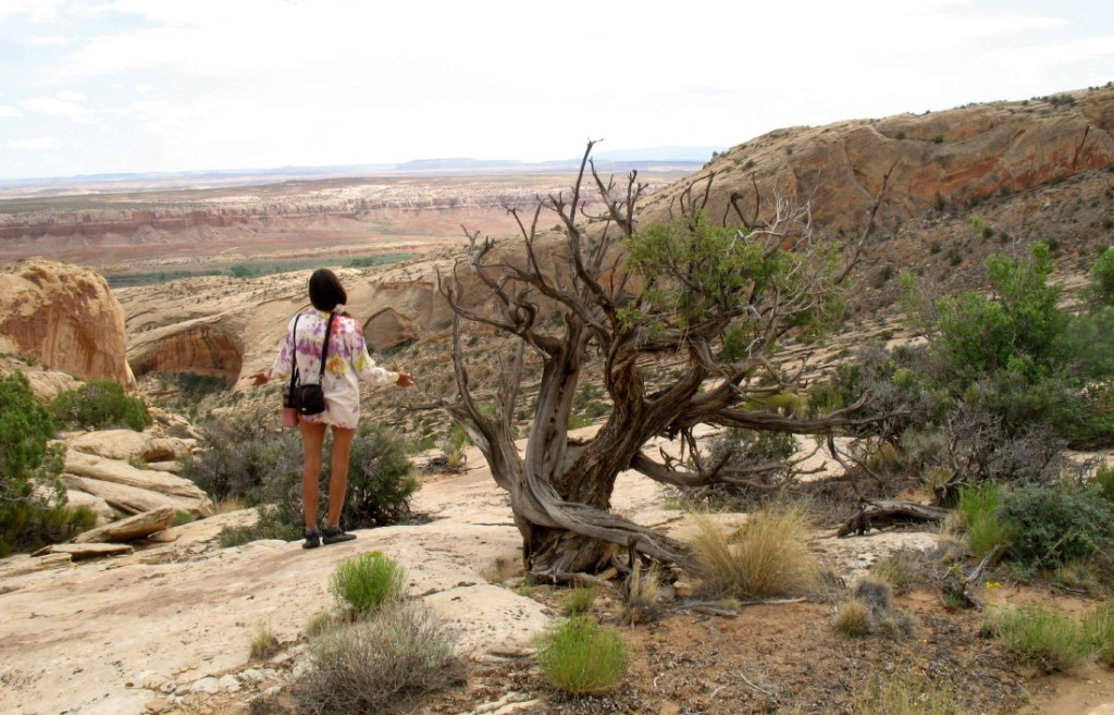
I spot a dead bristle cone pine tree up above me. That may be the peak.
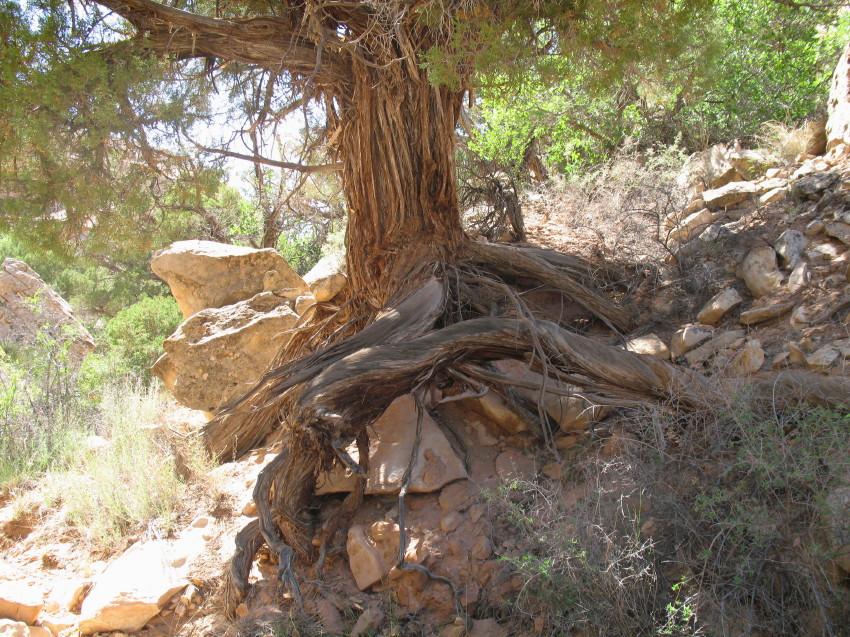
I shout behind me to DF, “Almost there.” When I arrive at the tree, I see that there is so much more still to go. The dead diminished tree is actually still alive. On its opposite side, I see a lone branch that is still green and bushy. The gnarly plants’ survive to an ancient age in the cracks with amazing perseverance. I hold my hands up in love and respect for the tree, happy to see it still living and growing.
Surprised that this isn’t the top, I now have no idea how much further, how many more steps are ahead of us. There is only a horizon next to sky high above where I stand.
Every so often, we stop and look around at the sight behind us.
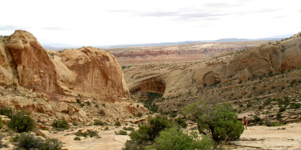
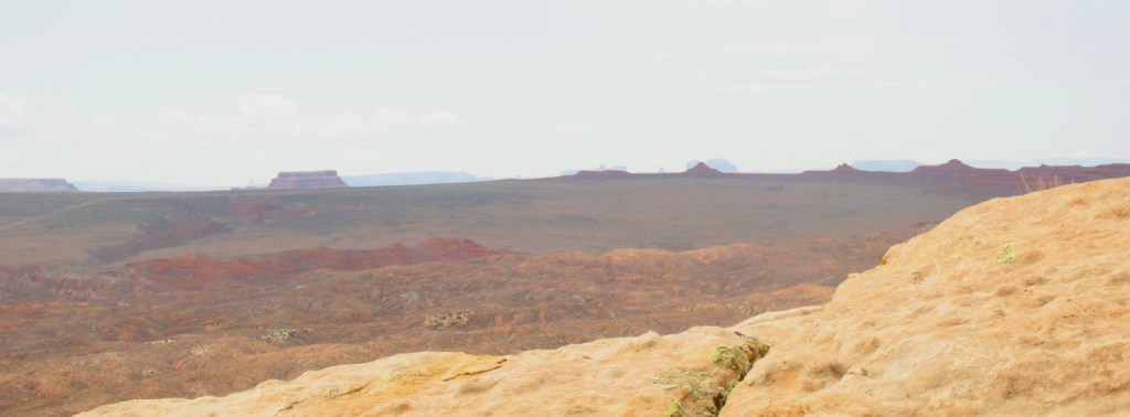
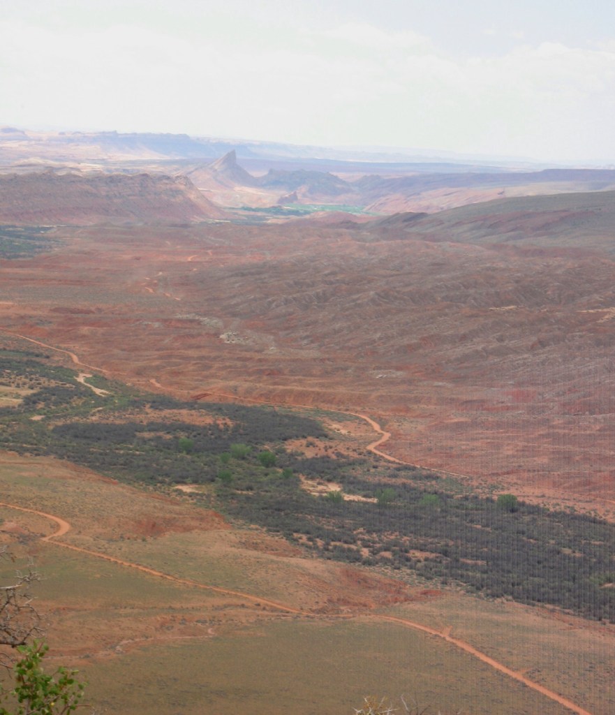
Each time the vista becomes more vast. We see snow covered mountains out in Colorado, equally white clouds rise above them. Another colorful layer and then another, are revealed in their foreground. The huge fish mouth arches that we passed through diminish further and further below us. The riparian wash where our camp lies is a tiny band of green. Our red SUV parked above it, is too small to see.
I look down to see if there are ruins under these arches, now that they are no longer above us. No buildings are in sight.
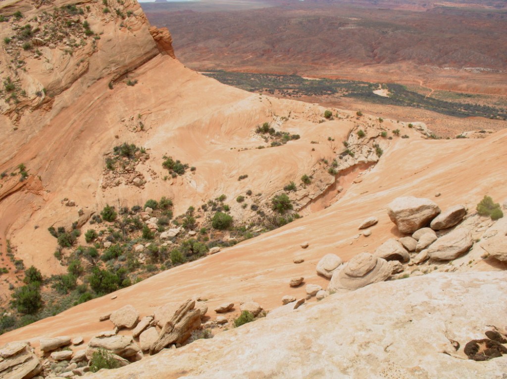
Looking down into the valley next to us, there are swirling salmon shades of the reddish rock. DF comments that the bowl shape would make a good skate park.
We also see an apparent end of the trail down there. It feels as though we are approaching the edge of the world.
Yet, we discover that there is much more to the slope that we are on. At where we thought the edge of the world, we see more rock slope. We climb, breathing heavily. I am in wonder that I am still able to do this and not be exhausted. Each time that I turn around and momentarily rest, I look back and see the huge fish mouth become more and more diminutive, as three and four letter amazed explicatives fall from my lips. It is striking how I can see so far east out over our tiny campsite. Are we walking into outer space?
Shifting over a few layers of the sandstone, the crest is achieved. We had talked about finally sitting down in rest, but the excitement of the impressive view has us standing on the mountainous peak. Far below, the western “Comb Wash Road” snakes across the red sand, a tiny string in a vast area. Monument Valley and Valley of the Gods loom in the distance south. Their iconic shapes define the uneven horizon.
The Bear’s ears, which tower as two lumps, peaks thousands of feet of elevation, are distinct to the north.
The long expanse of the Comb’s Ridge west side cliffs stretch dozens of miles before us. They curve like a great tsunami, out to engulf the world.
There is a wind-chill at this point, but we eventually sit next to each other, silent, in complete jaw hanging awe.
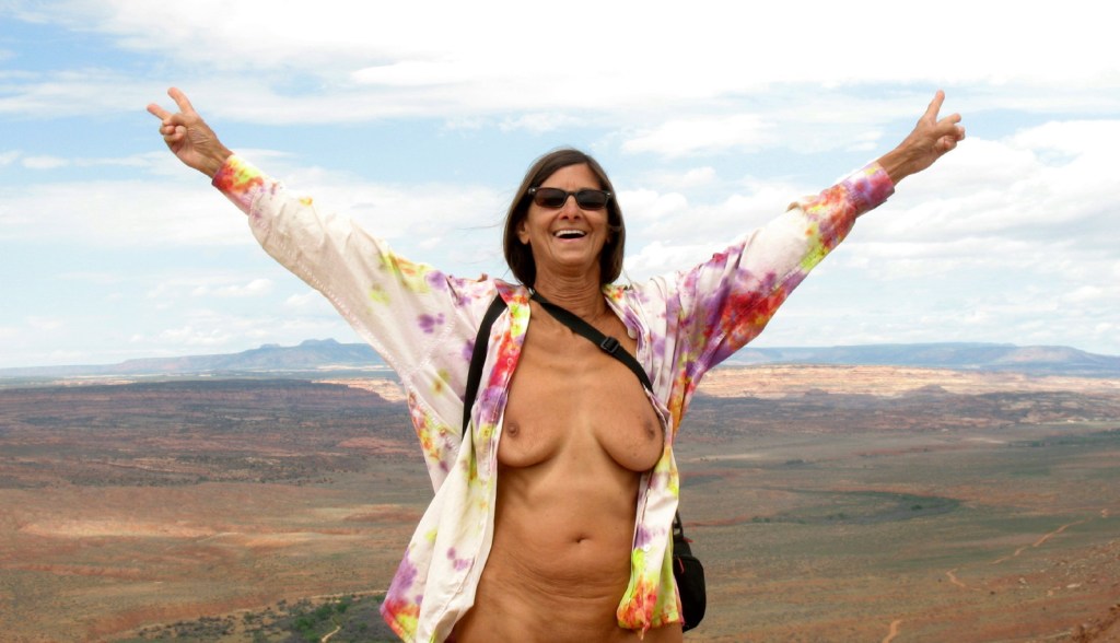
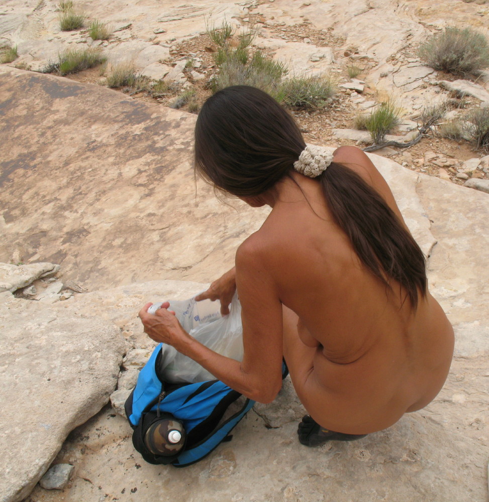
There is a wind break for us and then a break in the winds, demanding of us to strip, once again. It feels good all over after being confined in a t-shirt and backpack. The removal of shoes completes my sense of an air bath.
We sit some more. It is our reward and blessing just to be here. DF laments, “battery is dead.” Just as we arrived at this magnificent vista, a well-earned venture, her camera’s battery charge gave out. All of this and….
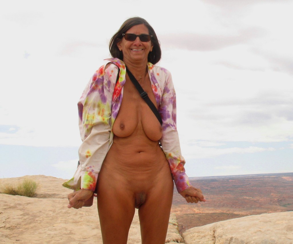
We begin to trade off shooting with my camera, sharing the photo opt.
A celebration is due. We toast water bottles. The feast is a snack and health/hiking bar. Some dried apple to nibble on, another gulp of the water and we sit some more, just to gaze.
There is another sister canyon up here. It is easy to cross to it on the world of rock surfaces and sparse tenacious flora. Perhaps there are ruins down in there. It would have been natural for the inhabitants to cross over to it from their high cliff-side fortress tower. It too appears to be lush. Water would flow from these heights, accumulating into streams and small ponds in both canyons.
There has been a significant surreal other worldly sense discovered in our wanderings during this trip. As we made our way, a distinctive sound was heard up in the cliffs.
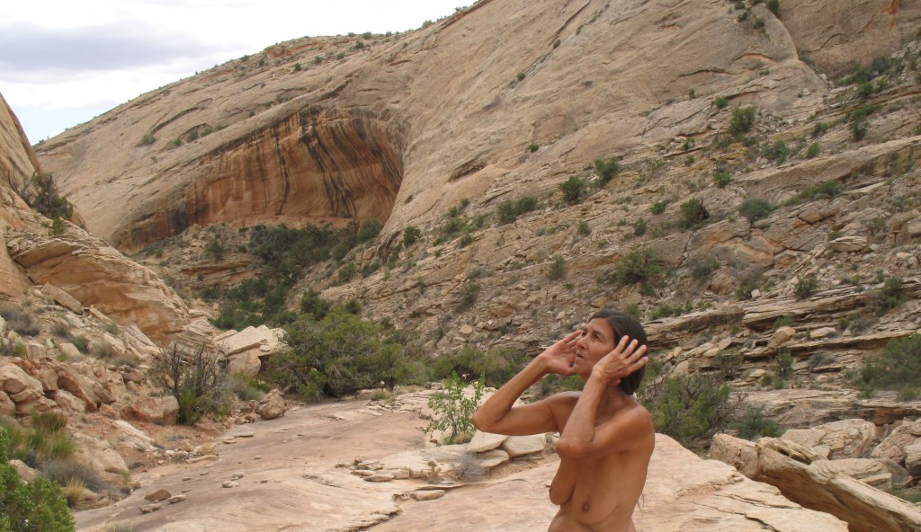
We fail to make a connection, to identify any familiarity. We stood and listened together for minutes and continued to hear this, as we walked further…
To be continued, very soon:
I am on the forum of FreeRangeNaturism.com often, if you would like to converse.
© The owners of TheFreeRangeNaturist.org as of the year 2015 declare. Unauthorized use and/or duplication of this material without express and written permission from this site’s author and/or owner is strictly prohibited. Excerpts and links may be used, provided that full and clear credit is given to TheFreeRangeNaturist.org with appropriate and specific direction to the original content.
